A long drive
Tuesday 28 April 2009
AustraliaTasmaniaDriving
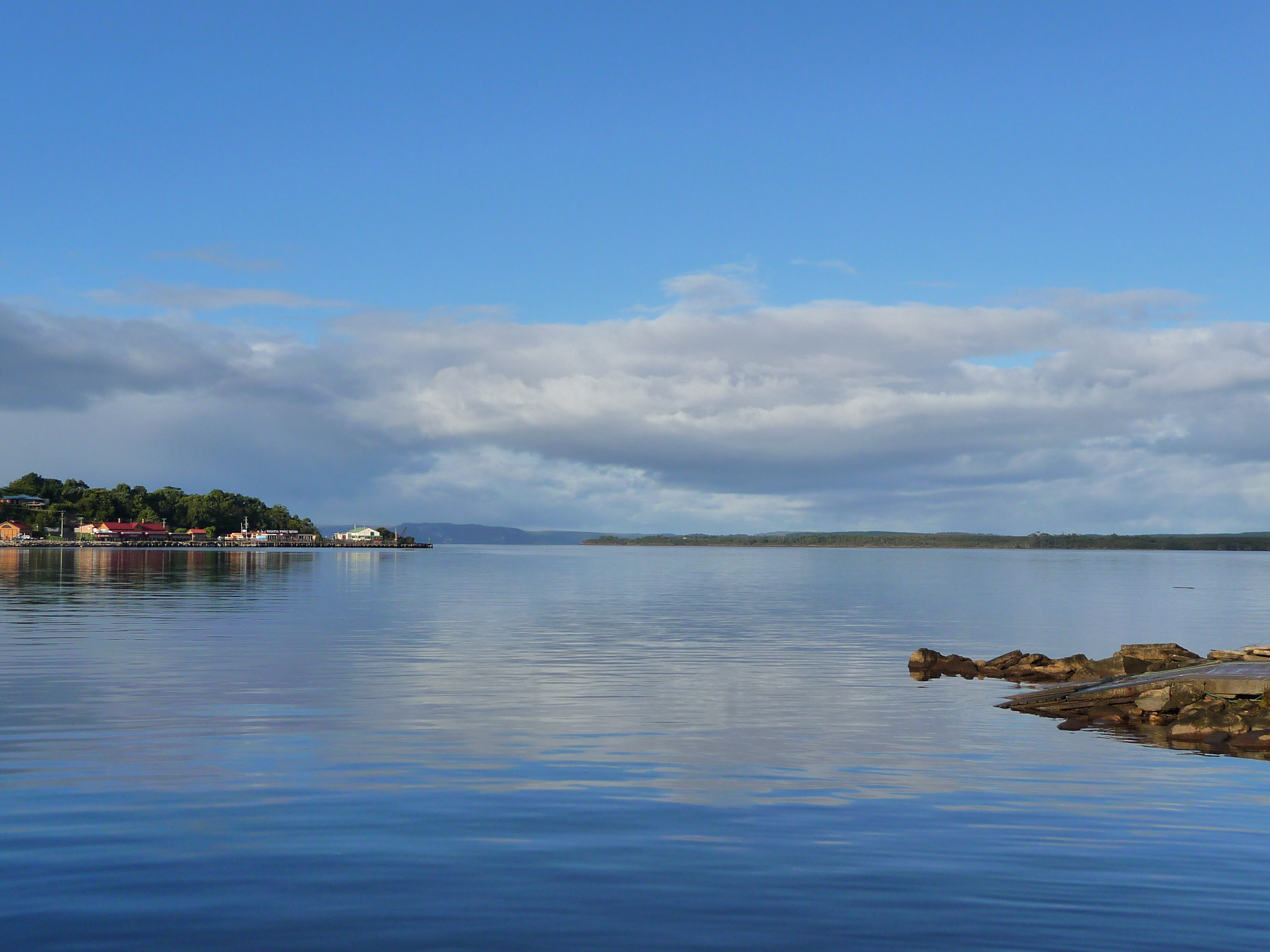
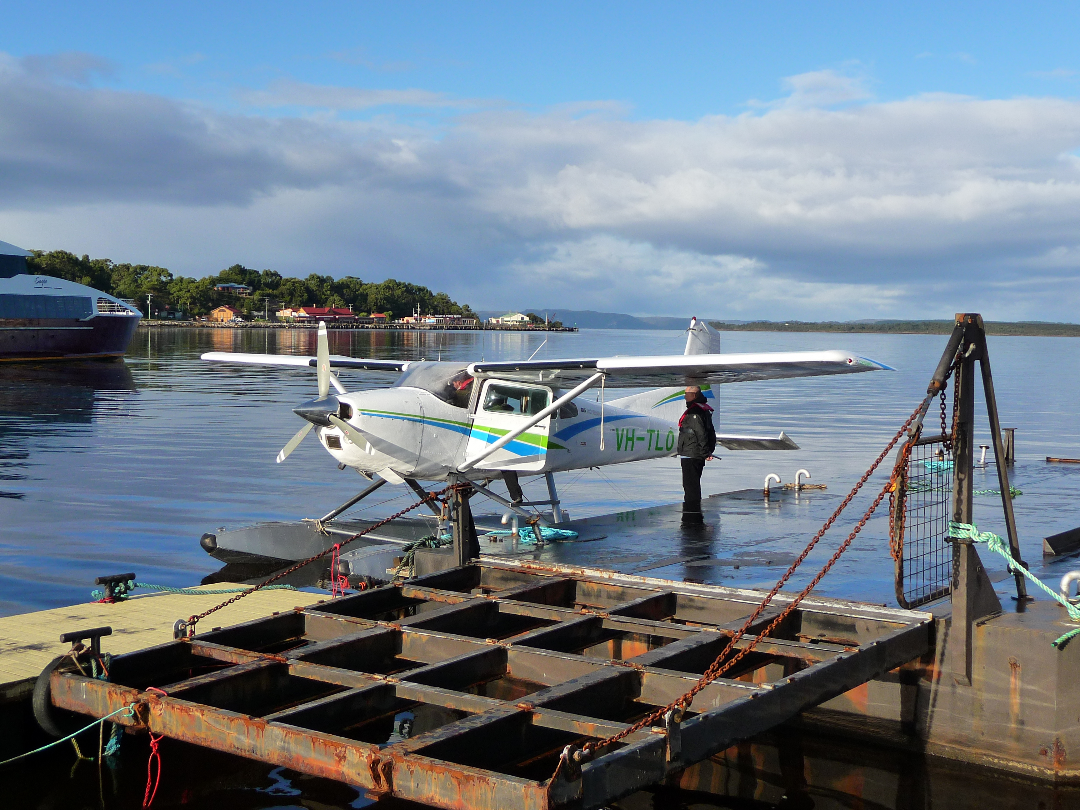
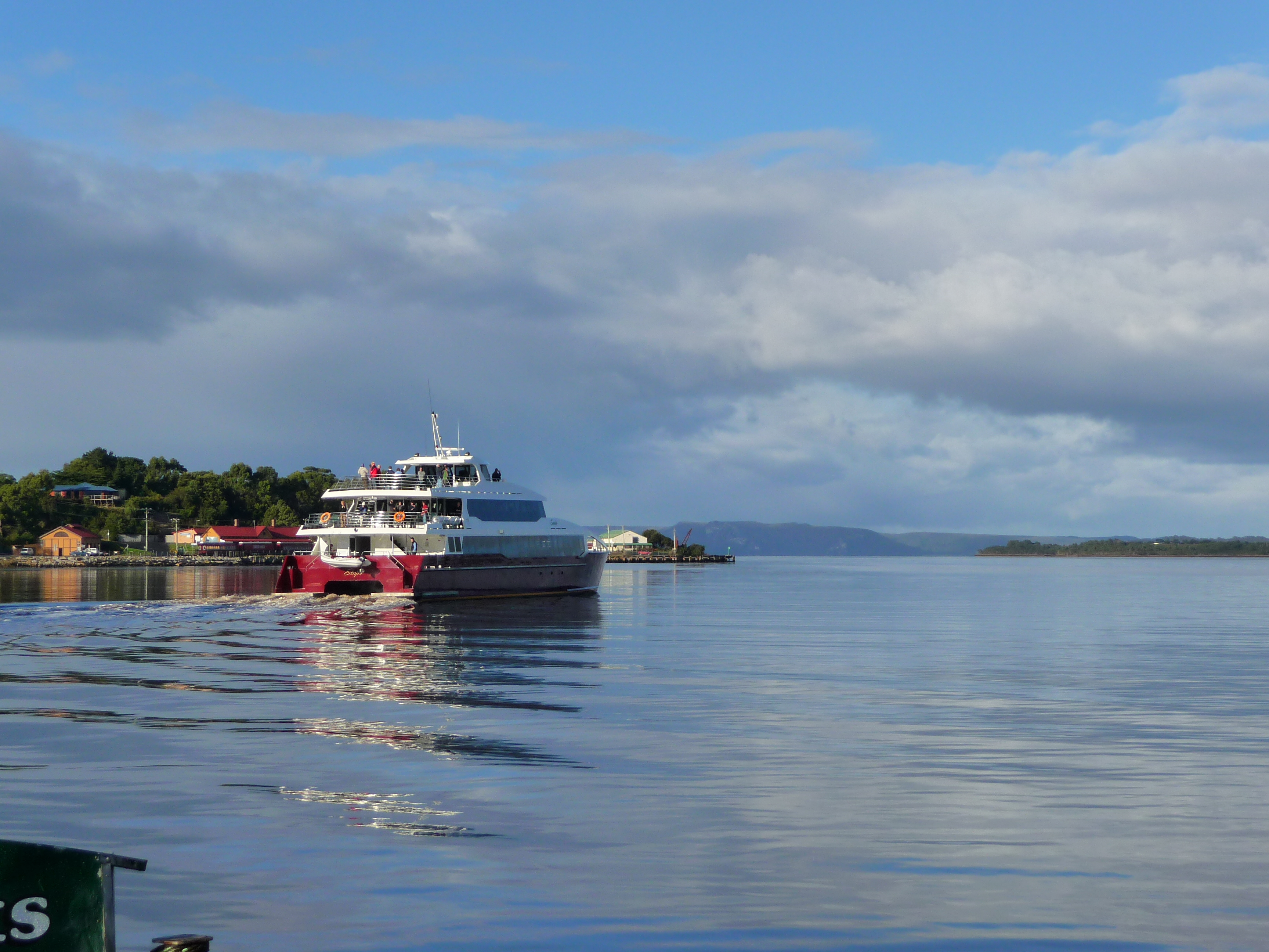
Today I will have to drive back to Hobart. It’s going to be a long day, since there’s a long and winding road between Strahan and Hobart. The day started great and I had to go back to Strahan harbor to take the pictures I couldn’t take yesterday anymore. It’s already quite busy here; there’s a boat leaving for a cruise on the river and some people have booked a nice flight over this area. That must be good fun, since there’s no wind and the cloud level is quite high.

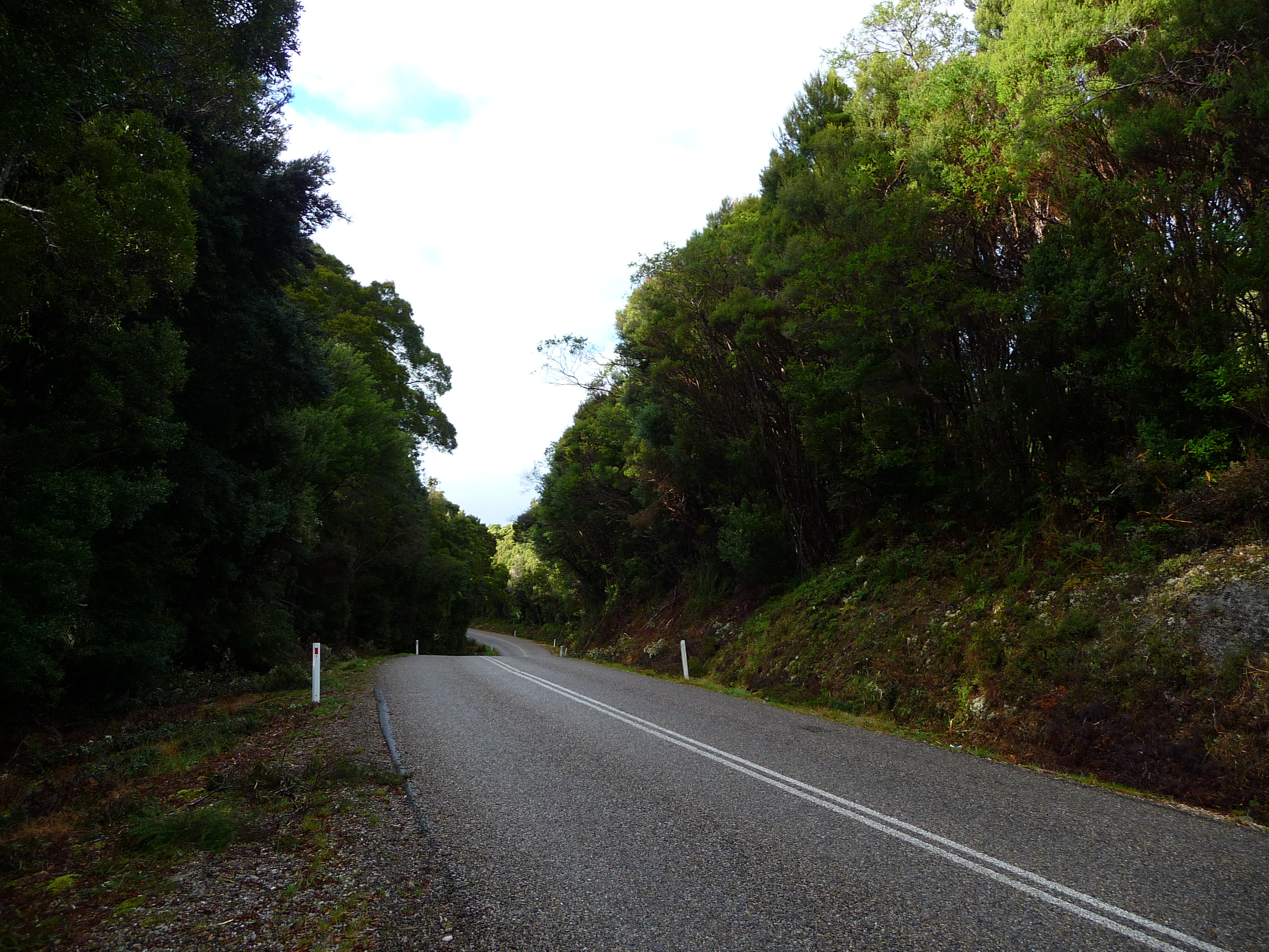
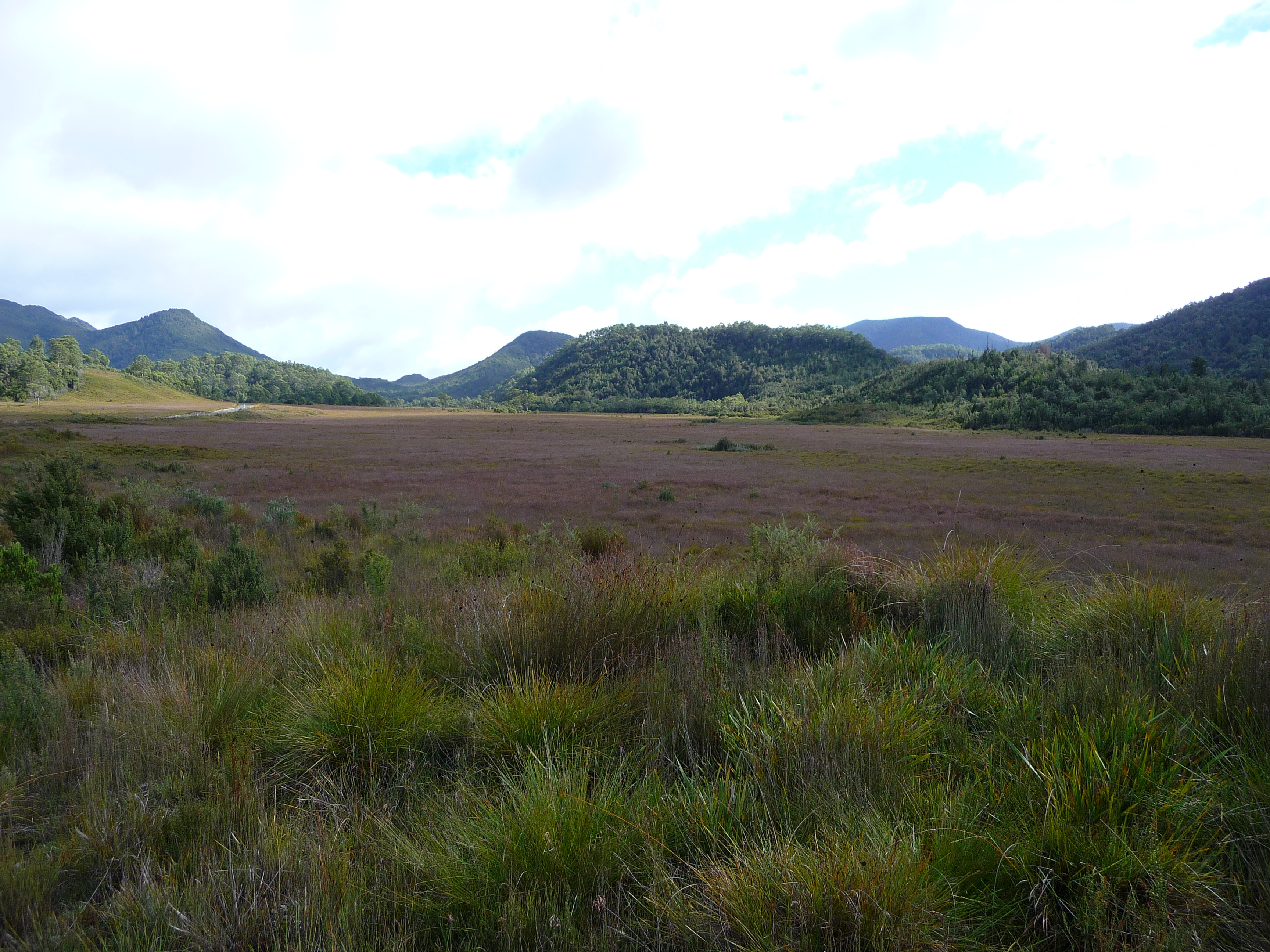
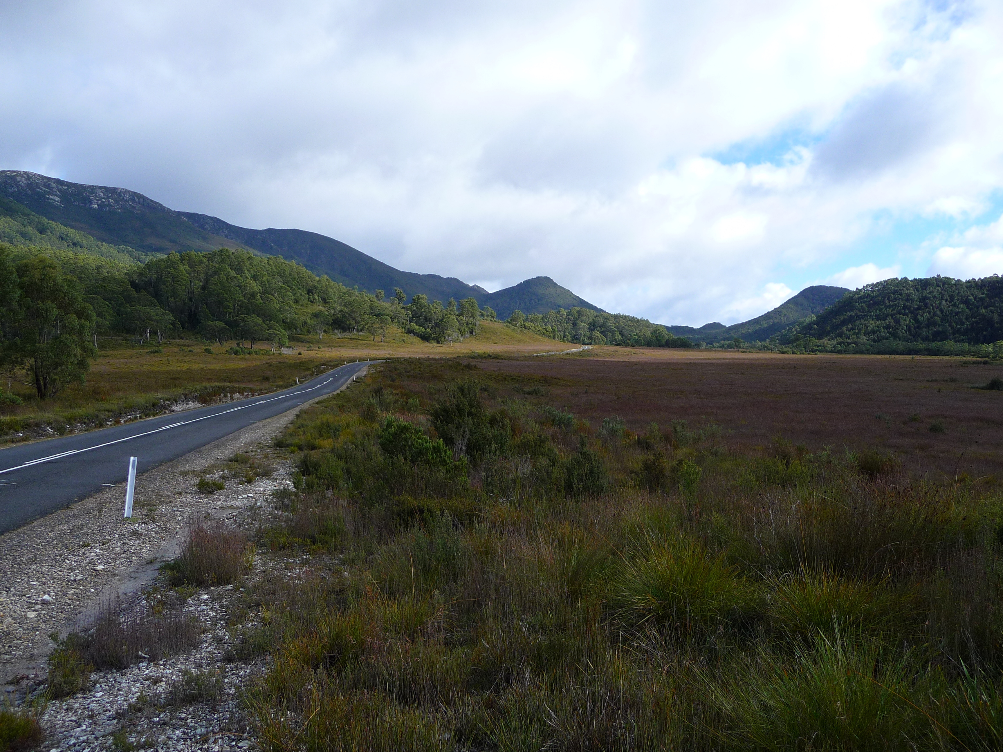
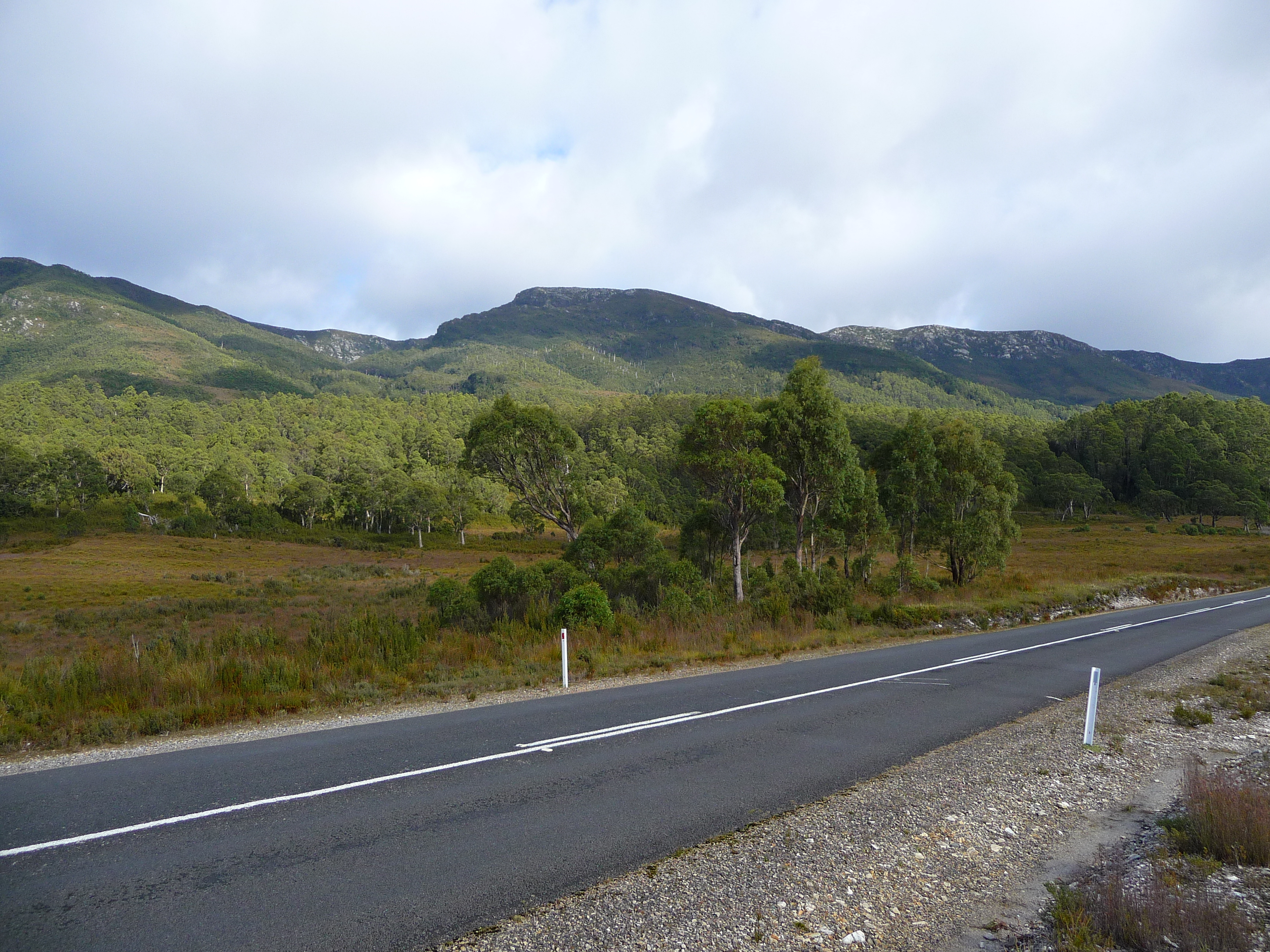
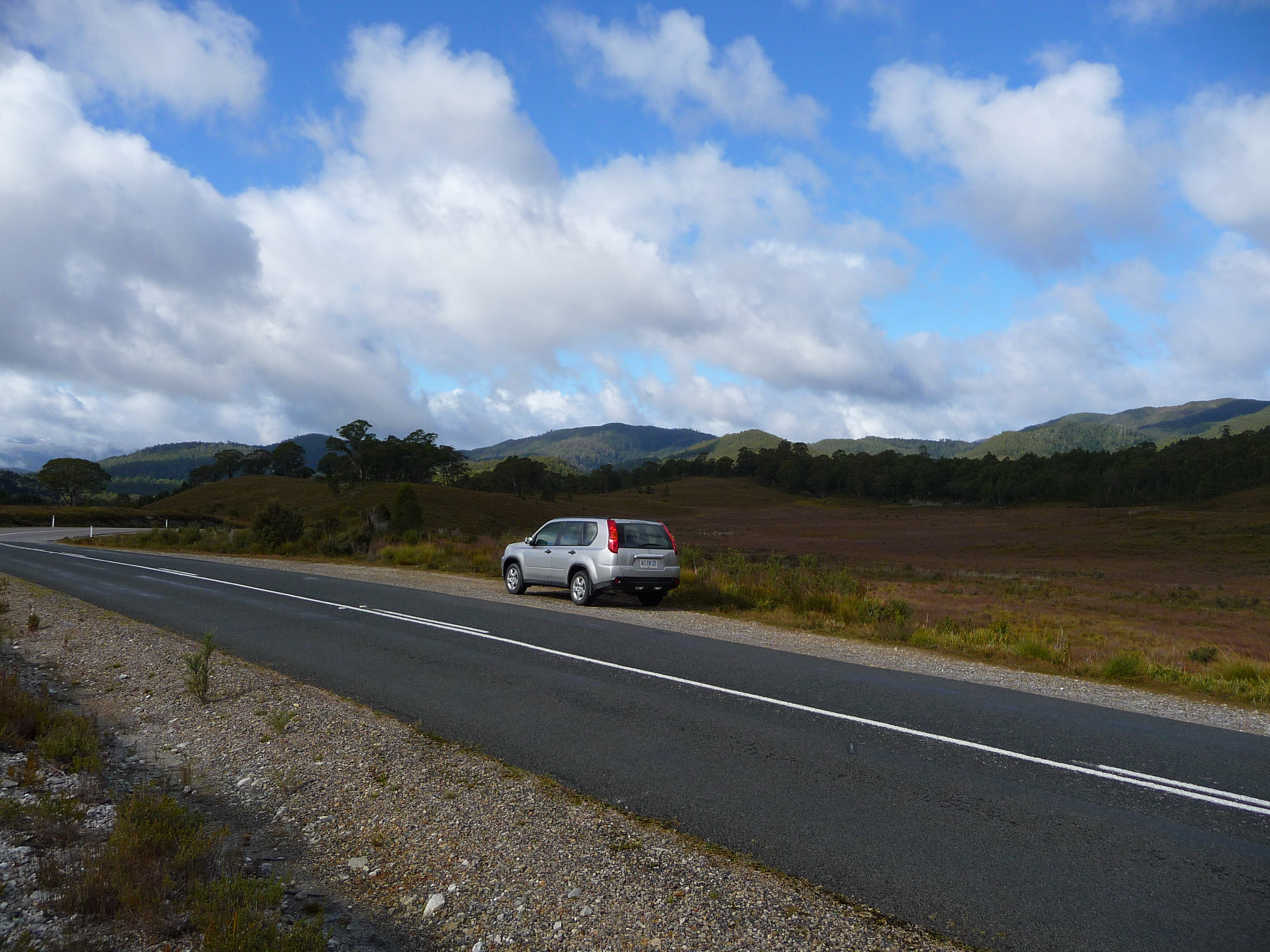
After all those pictures it was time to leave this place. And as I said before: it’s a long and windy road. Initially it’s more or less like yesterday; trees on both sides. The difference: it’s going up and down and constantly turning.
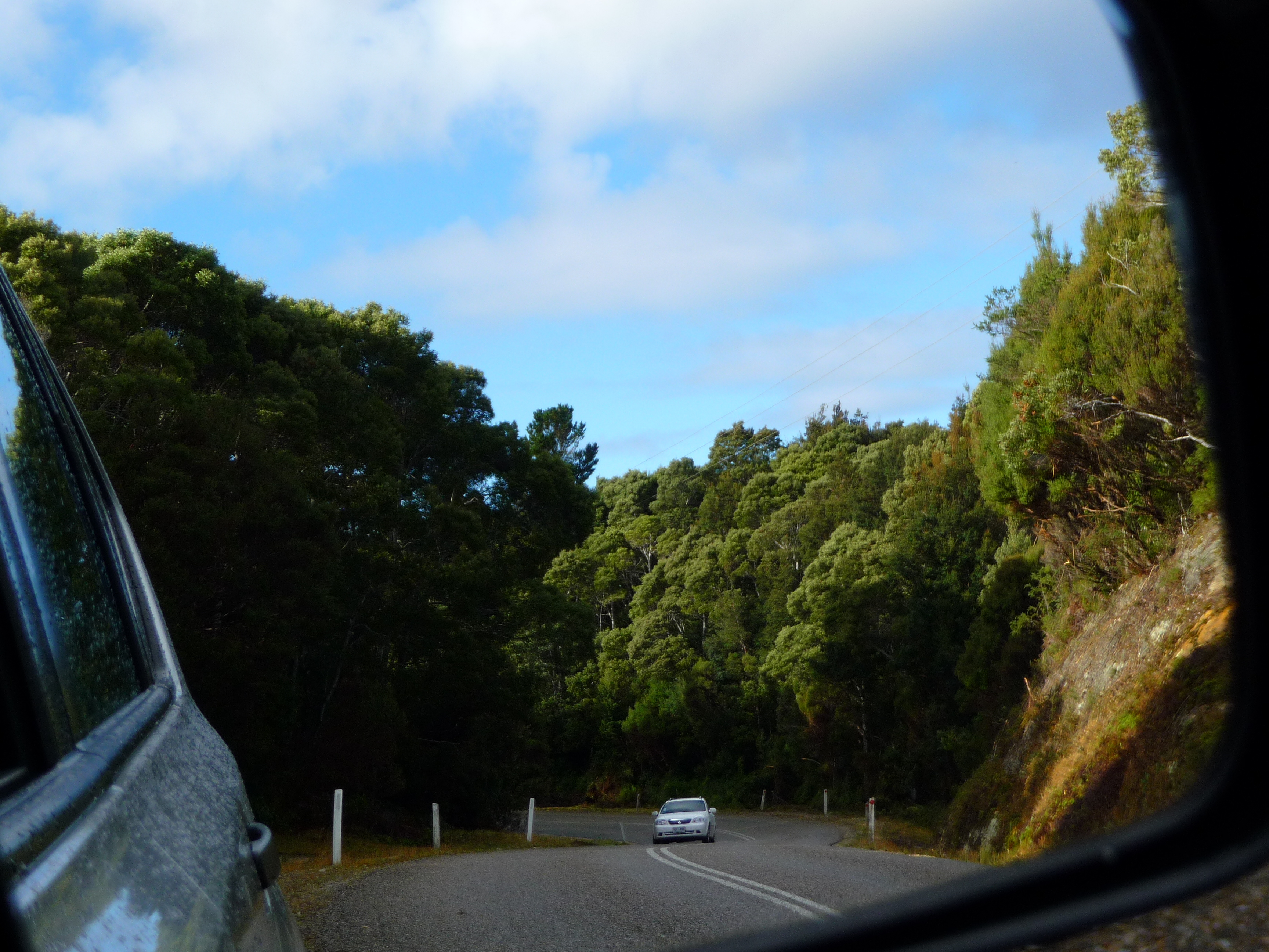
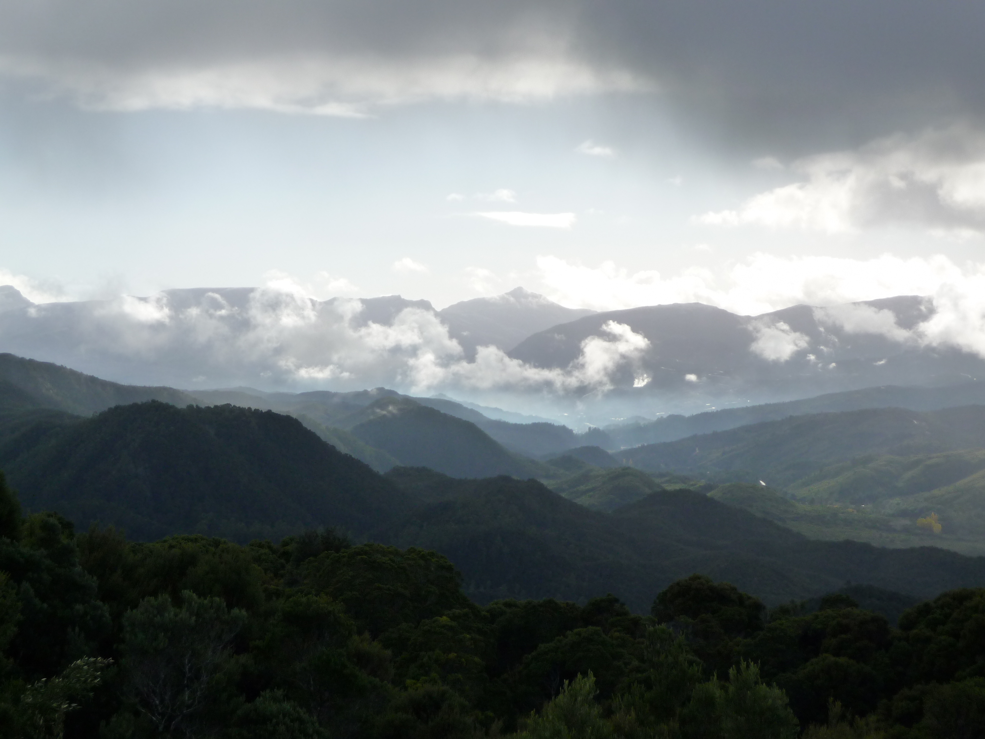
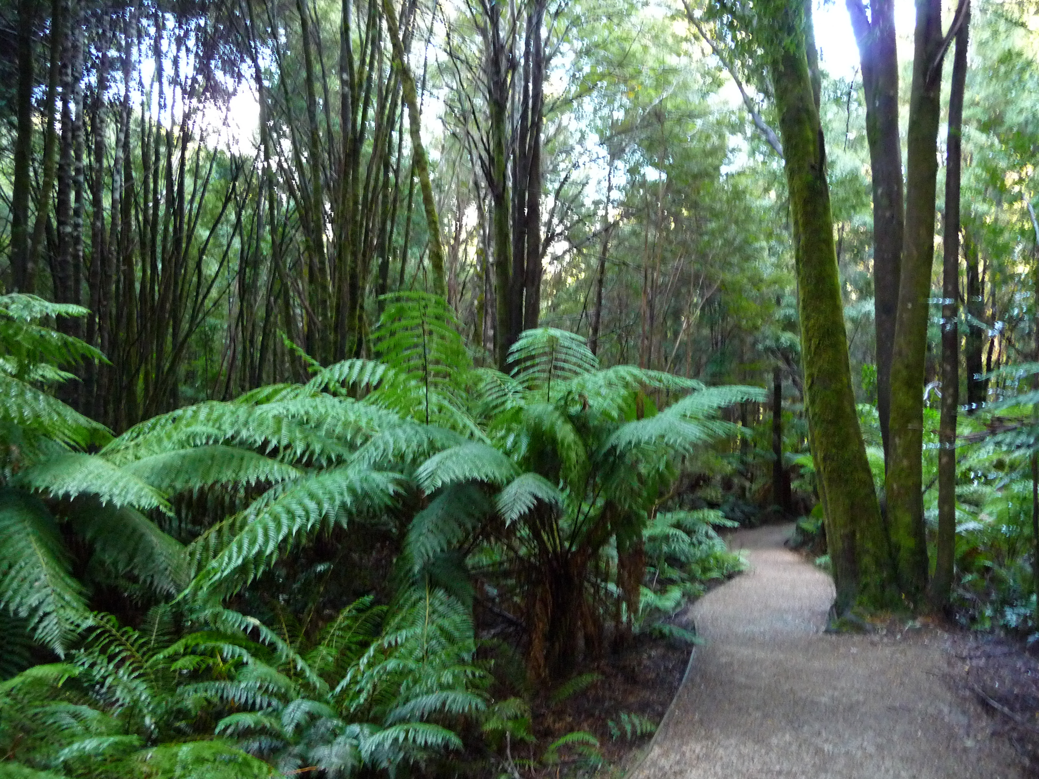
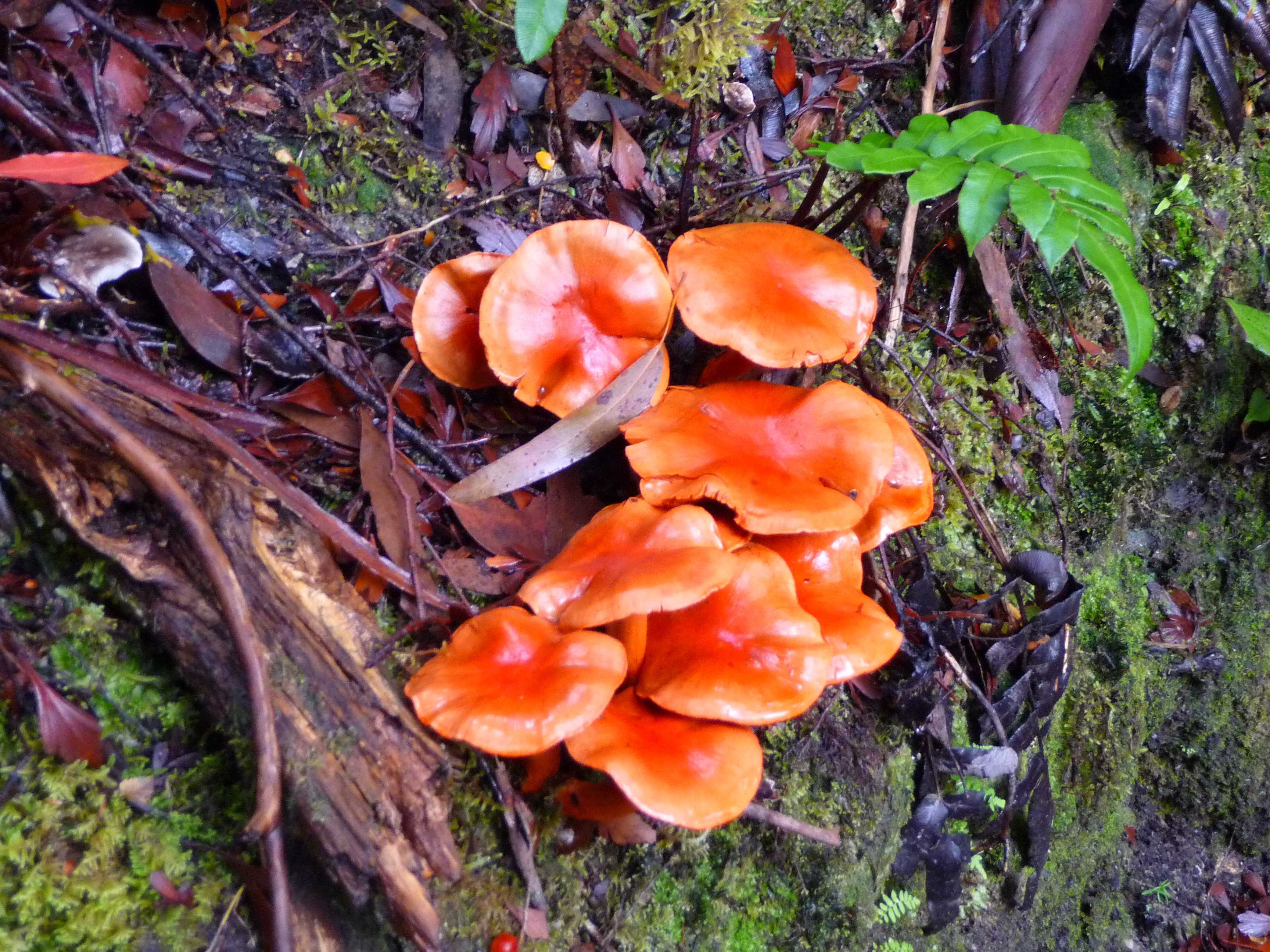
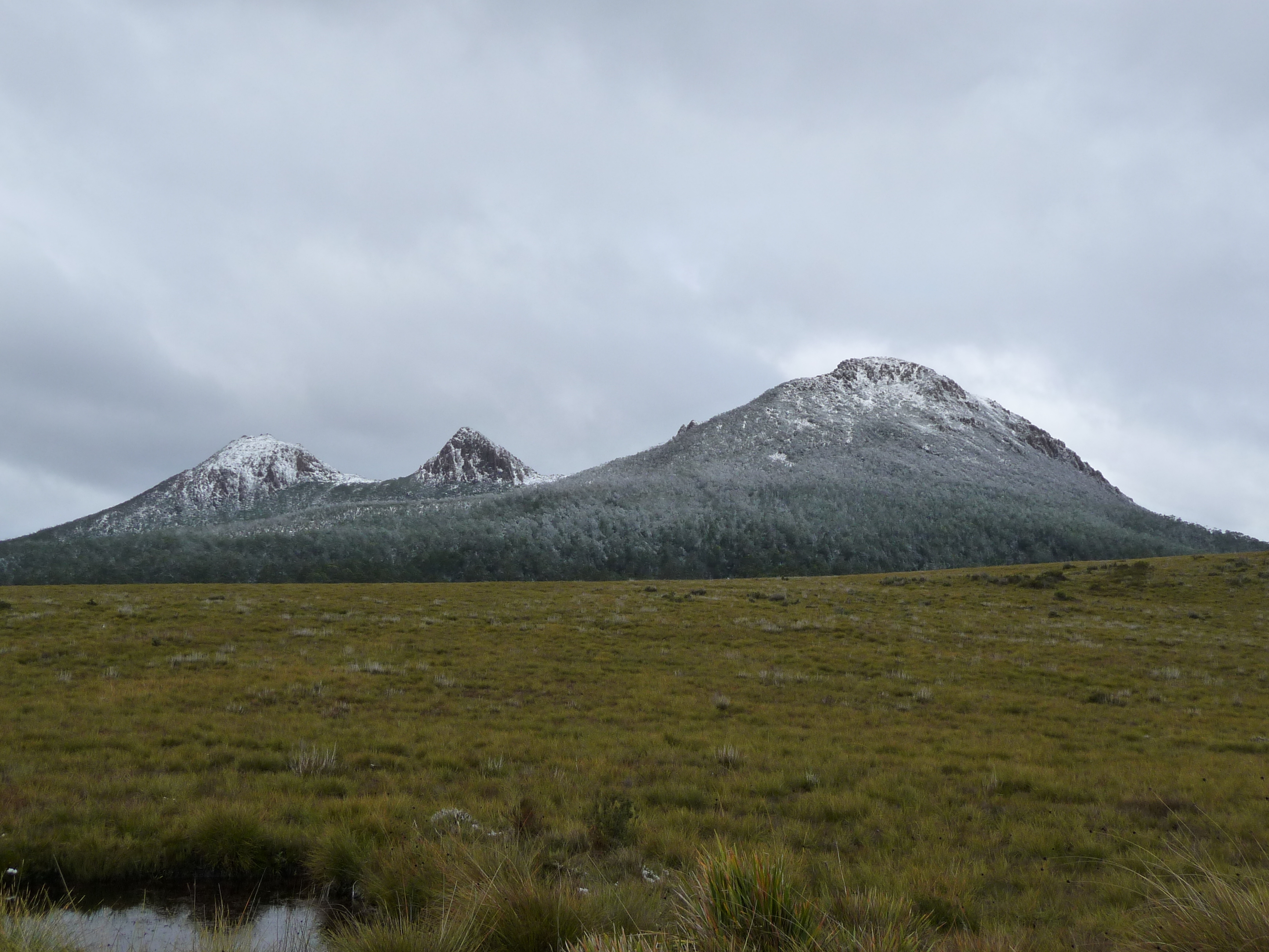
And again, there are some “scenic lookout” signs and therefore I have to stop and fill my memory card with images like this:
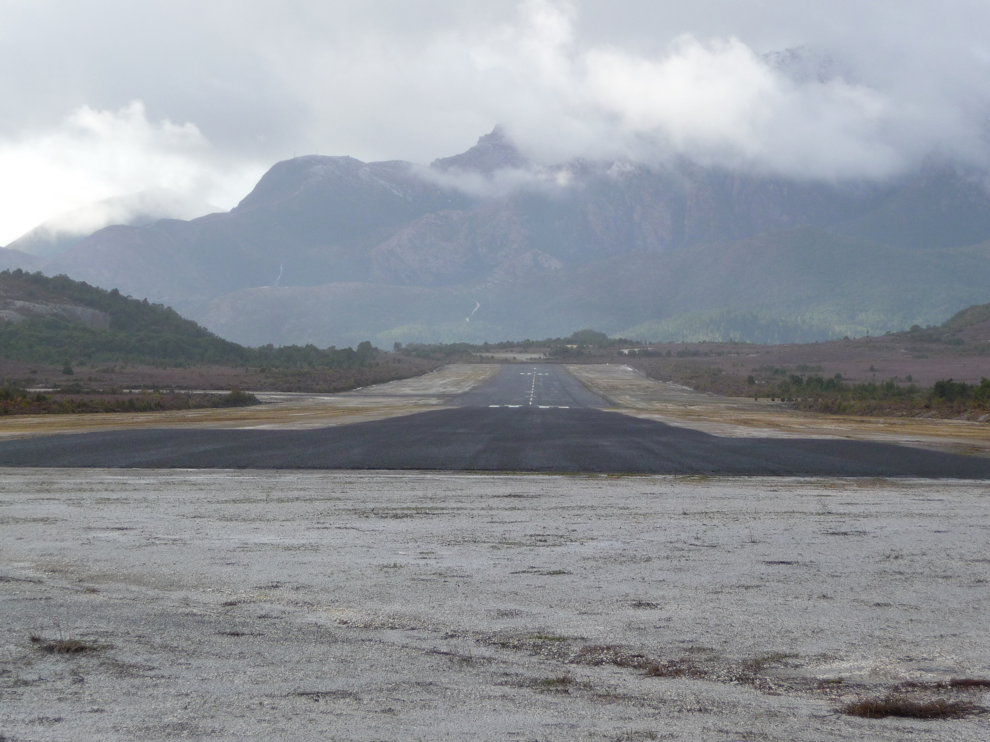
Hey, that’s a familiar image… On short final for runway 09.
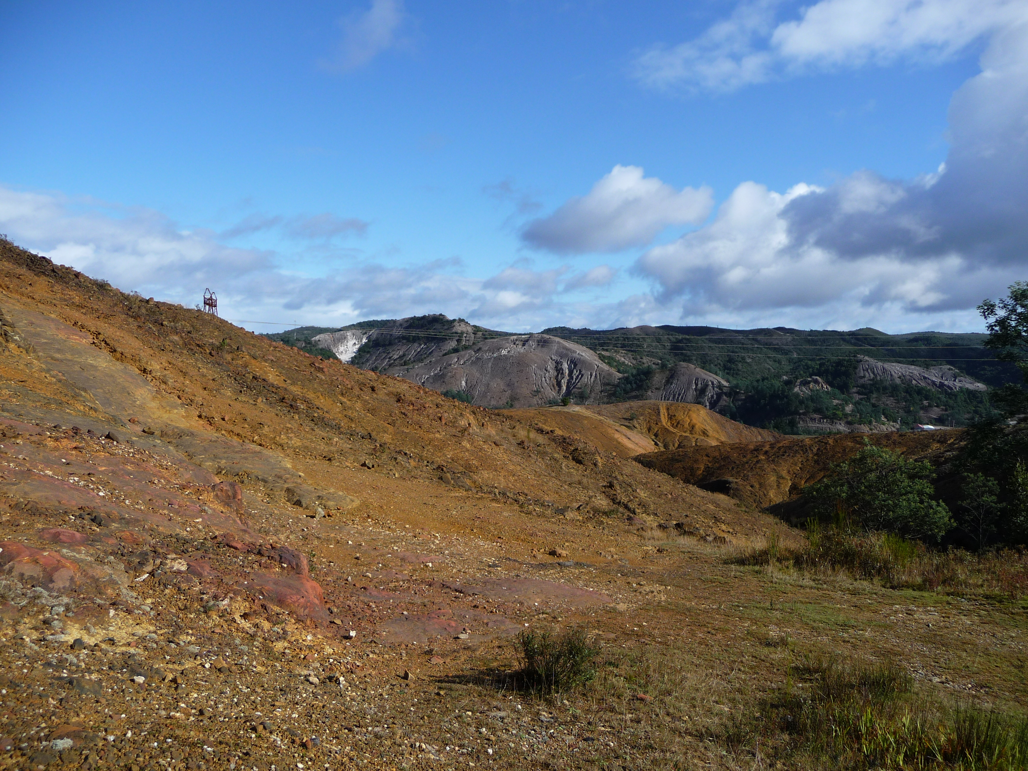
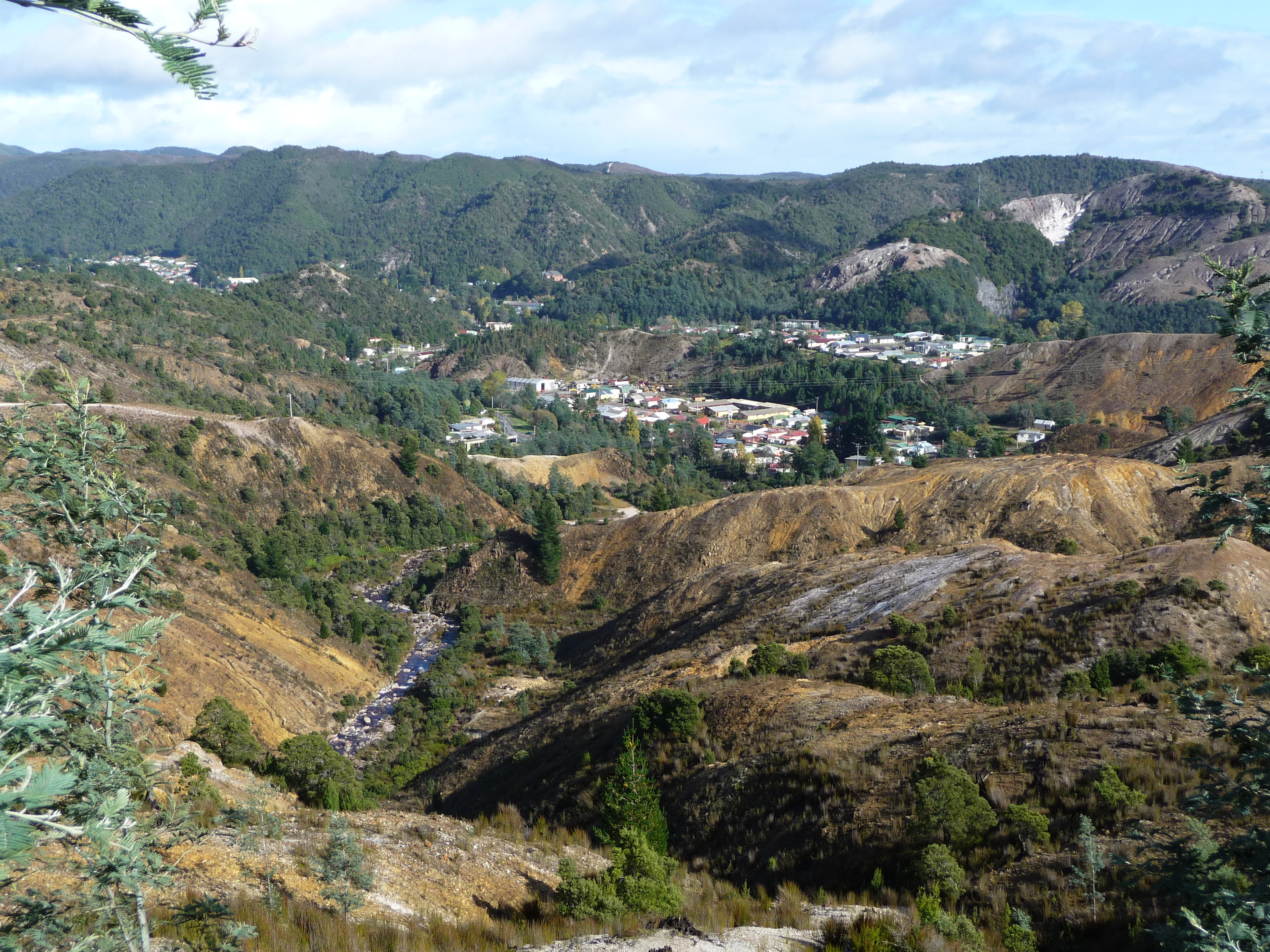
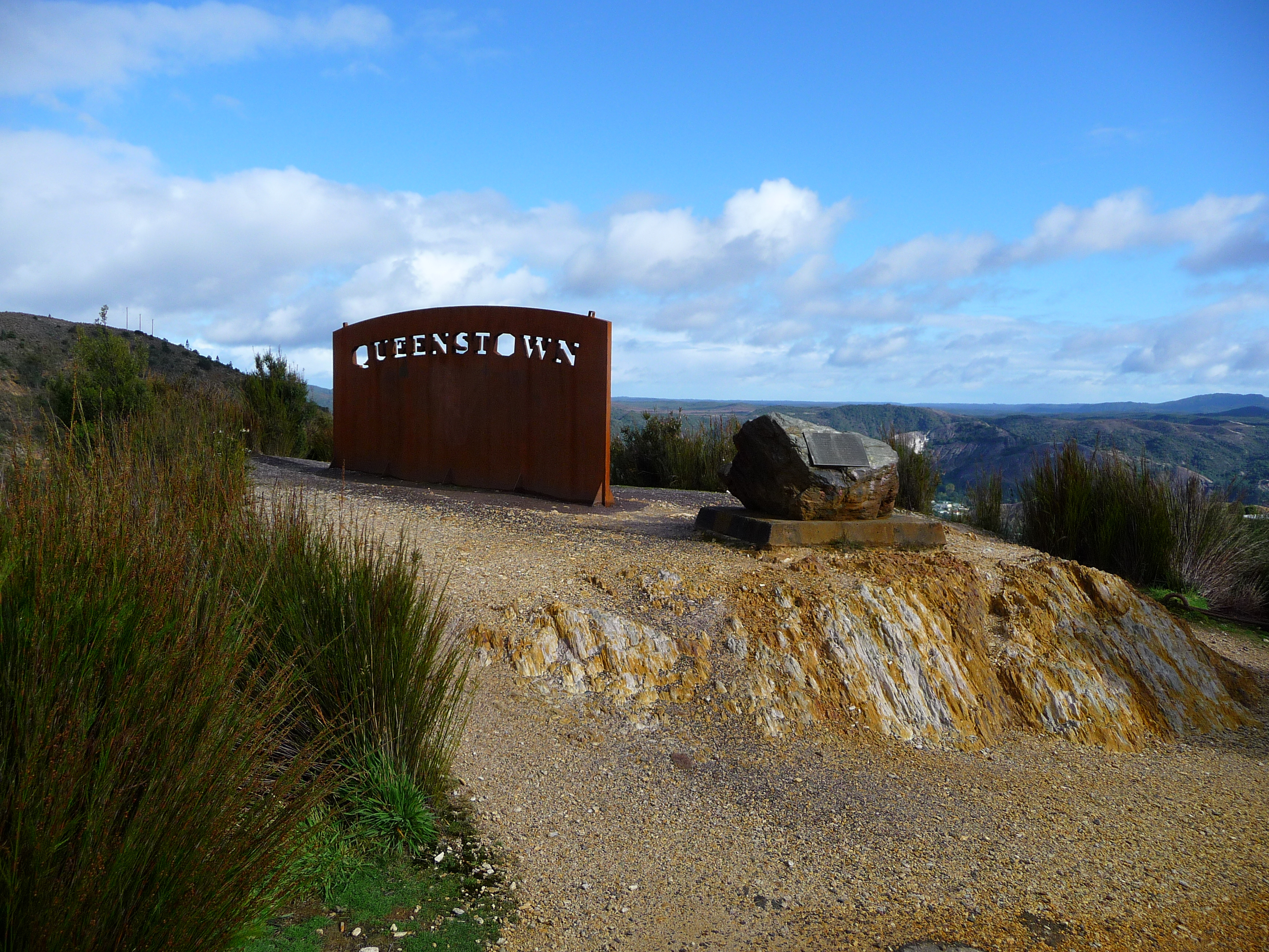
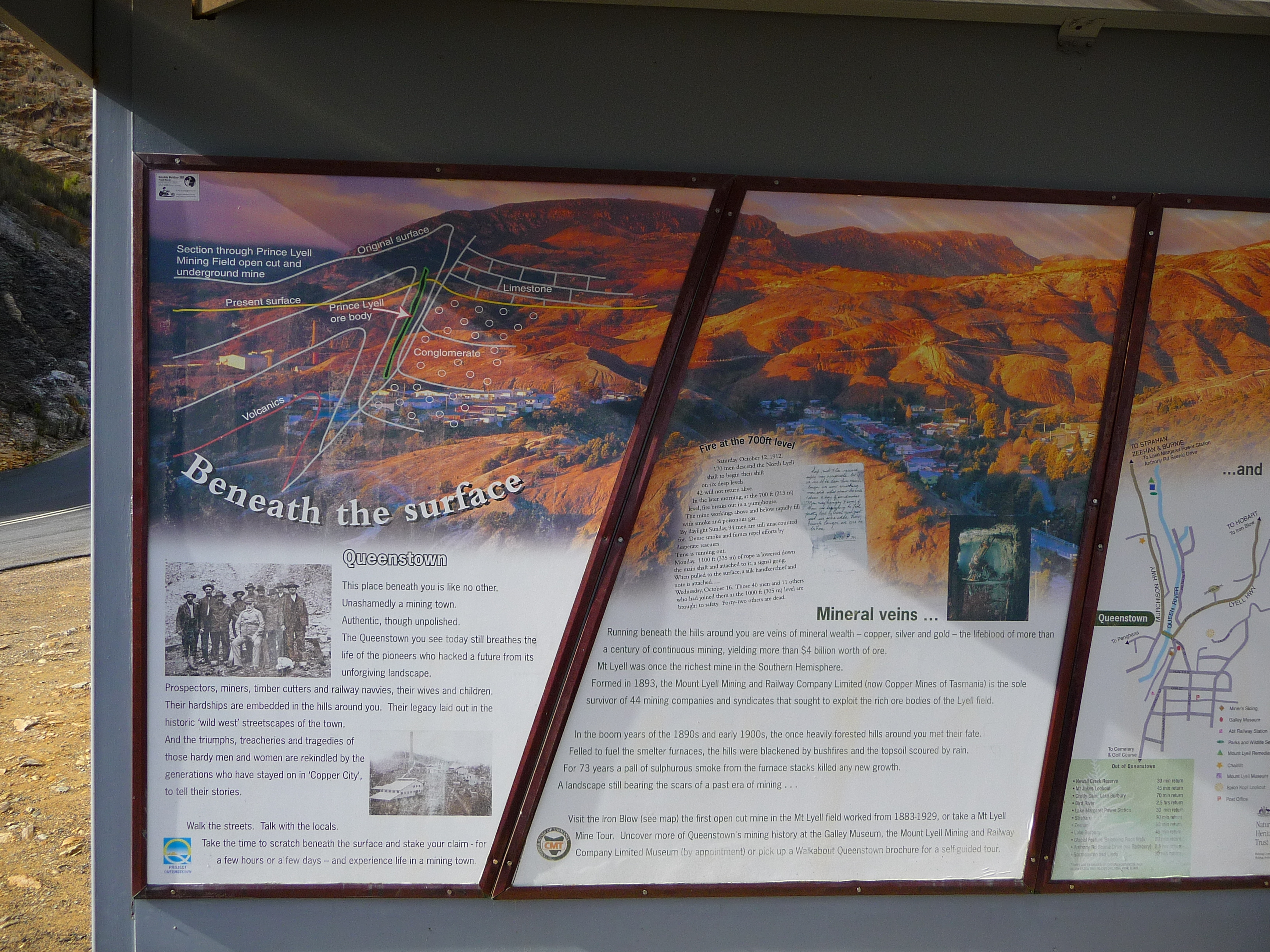
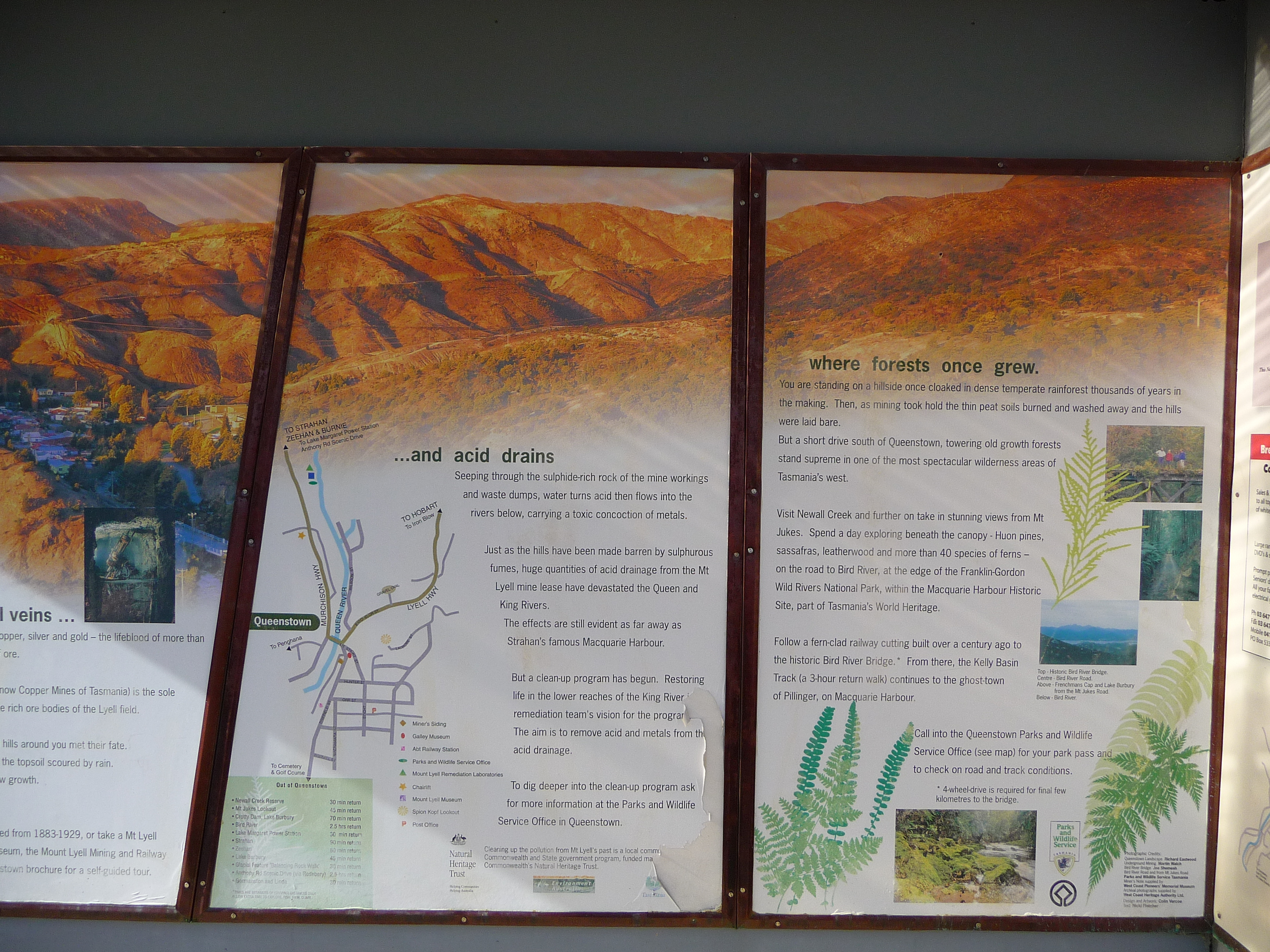
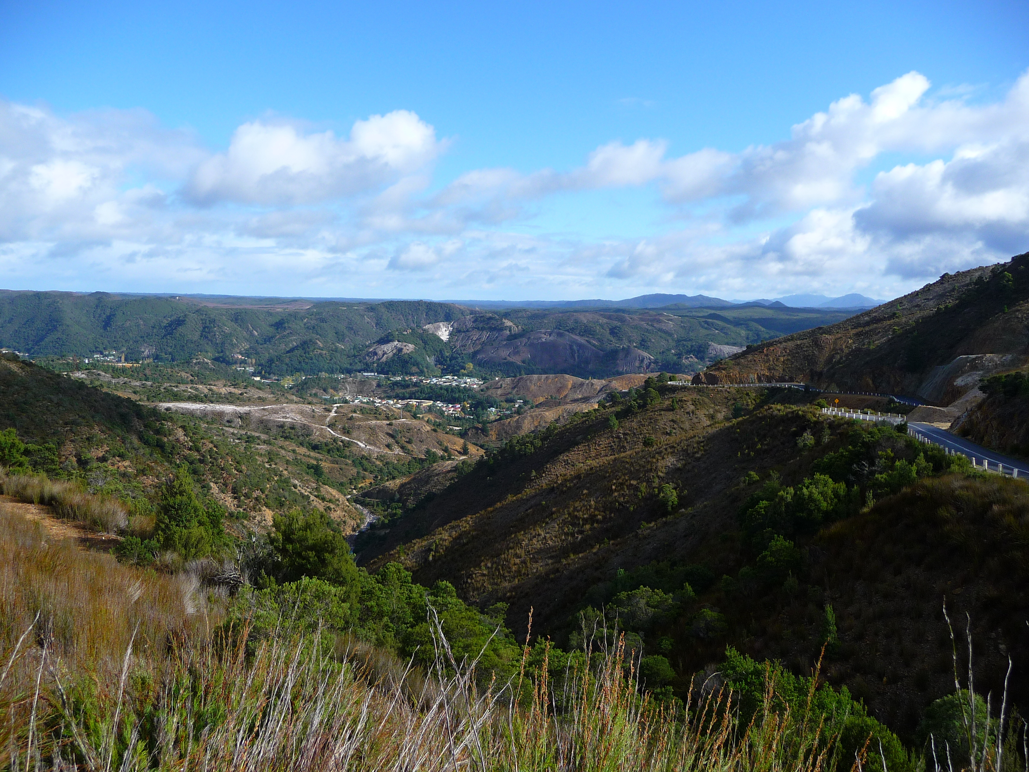
Then I get closer to Queenstown. This place is famous and not for good things. As a result of the copper mining here there’s substantial damage to the environment. At a lot of places the trees are gone and nothing will grow here anymore. But let’s start by (hey what a surprise) go up to a local lookout.
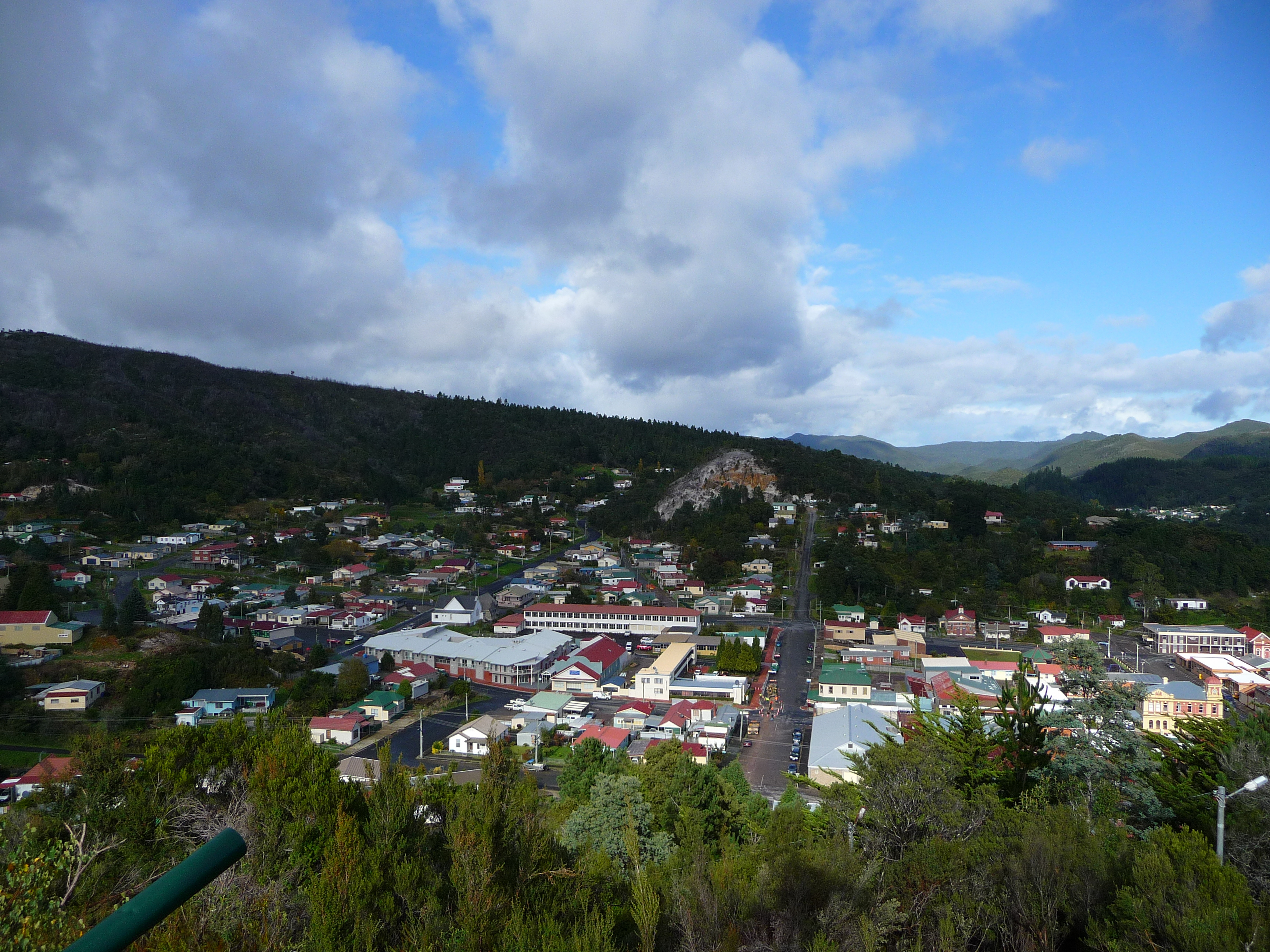
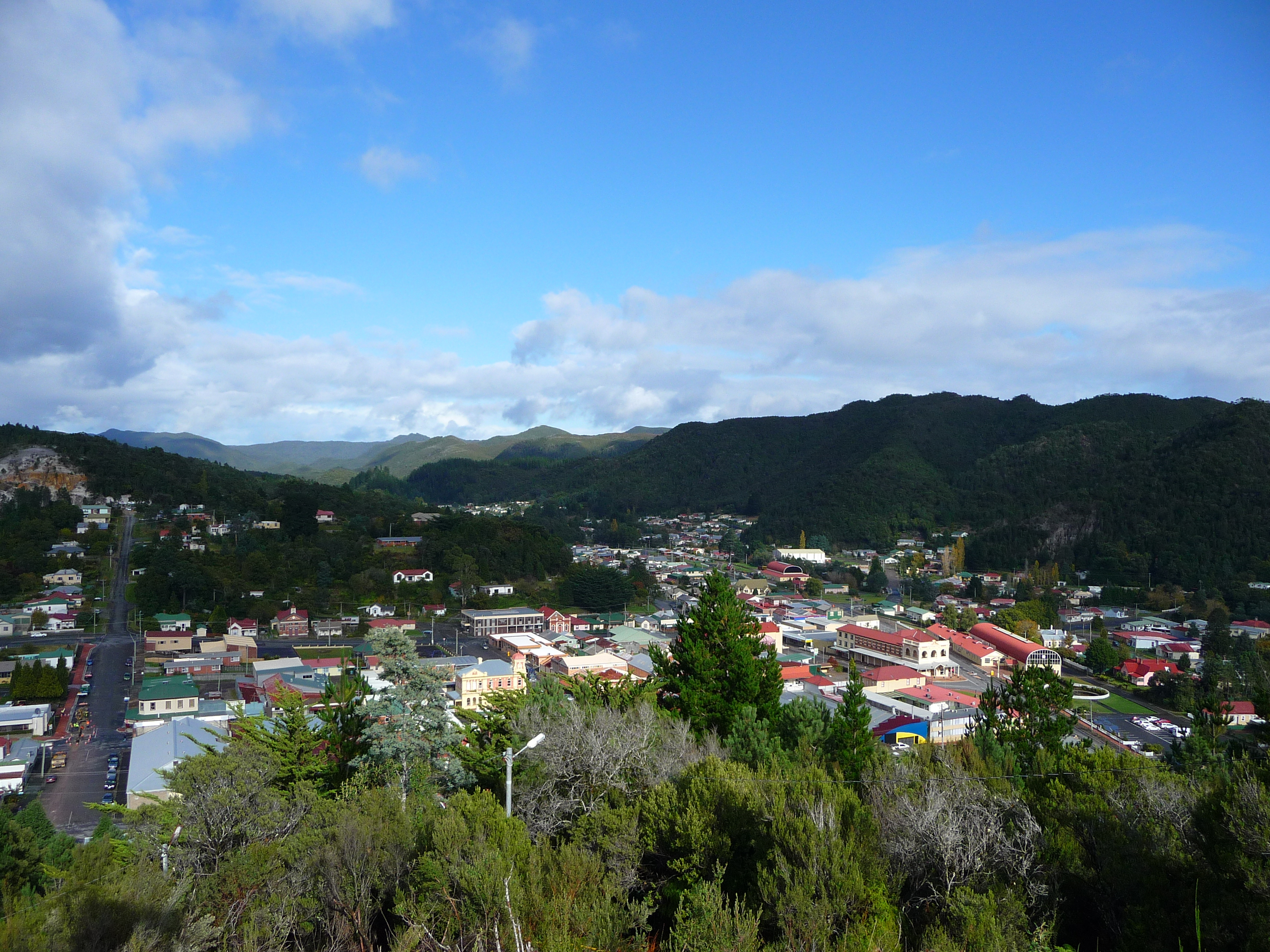
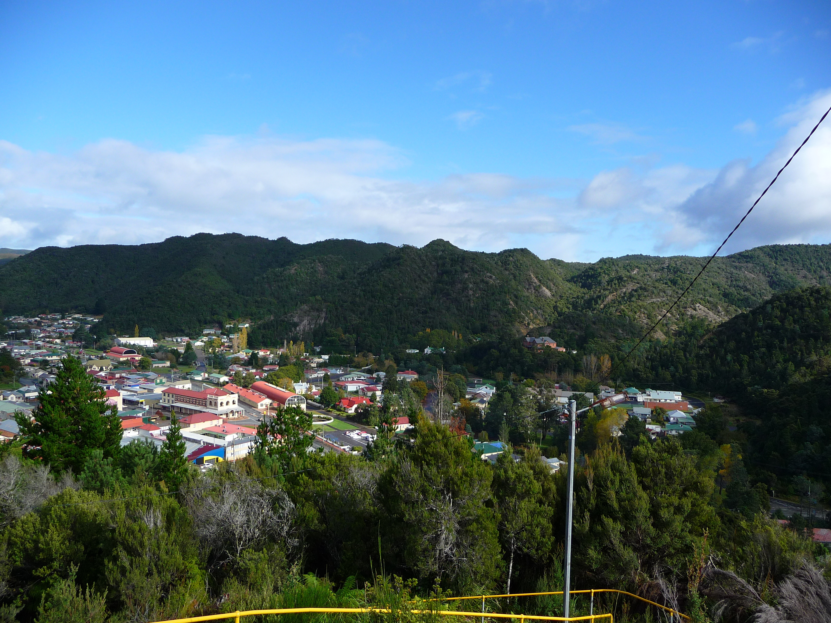
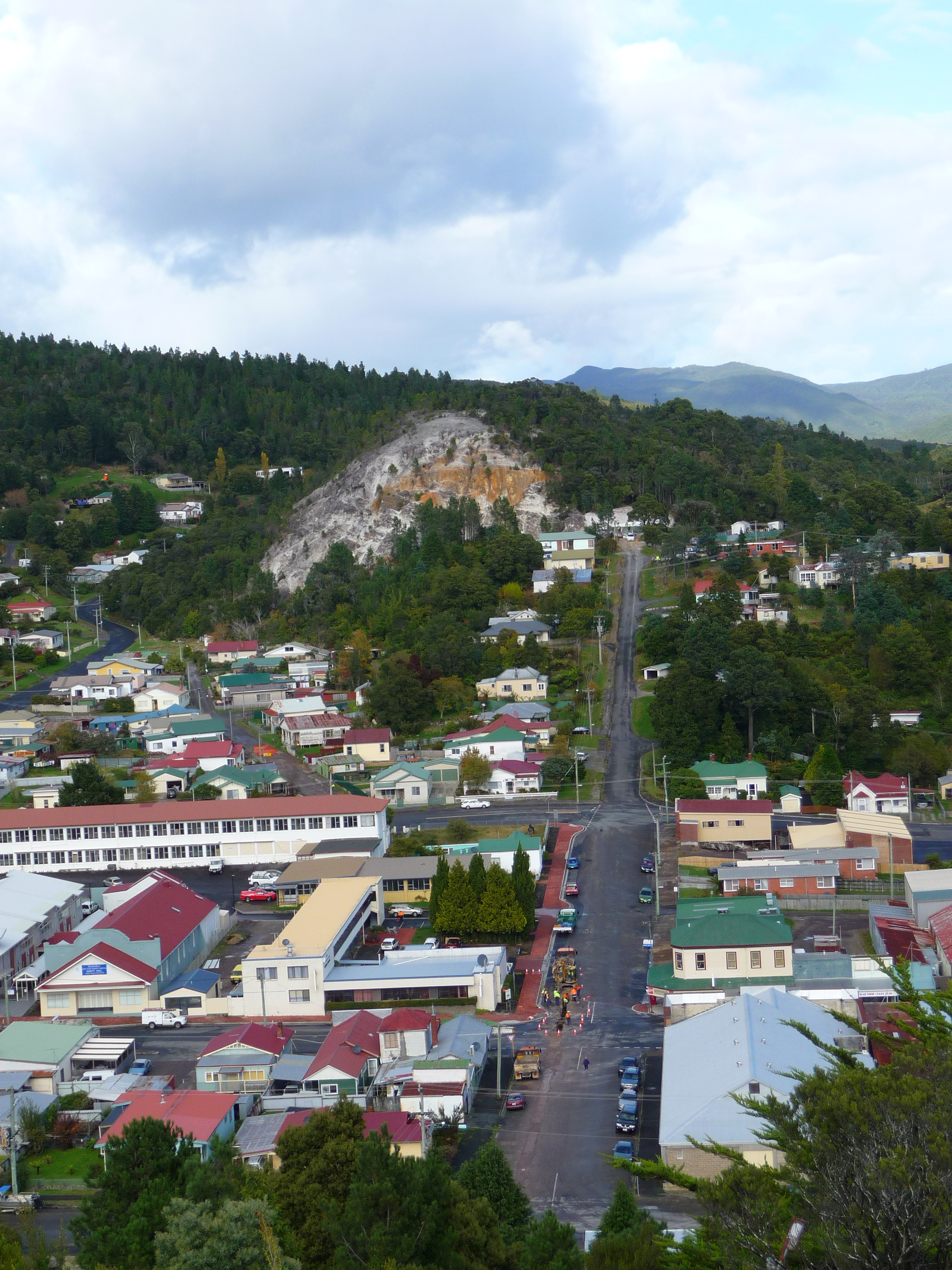
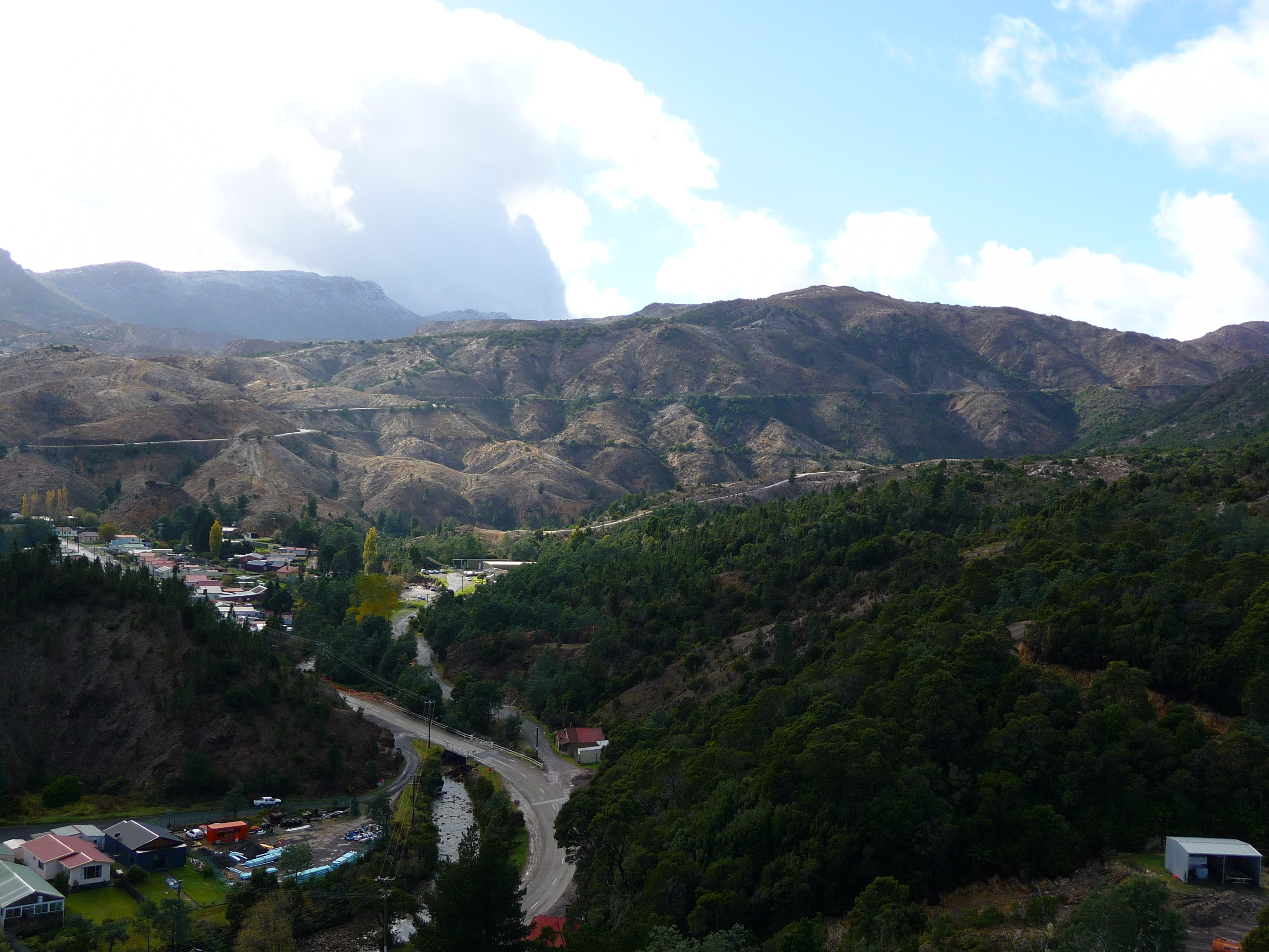
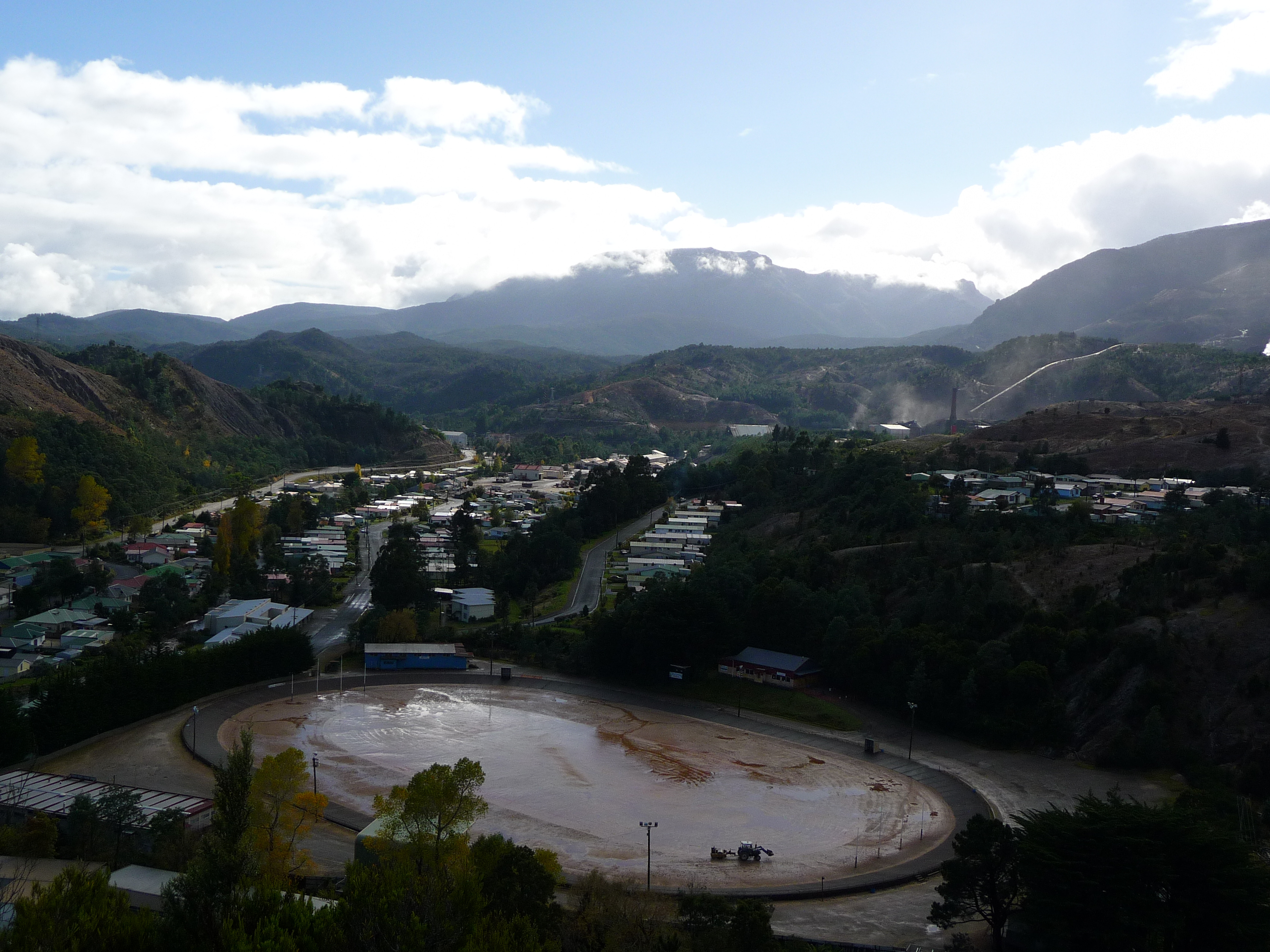
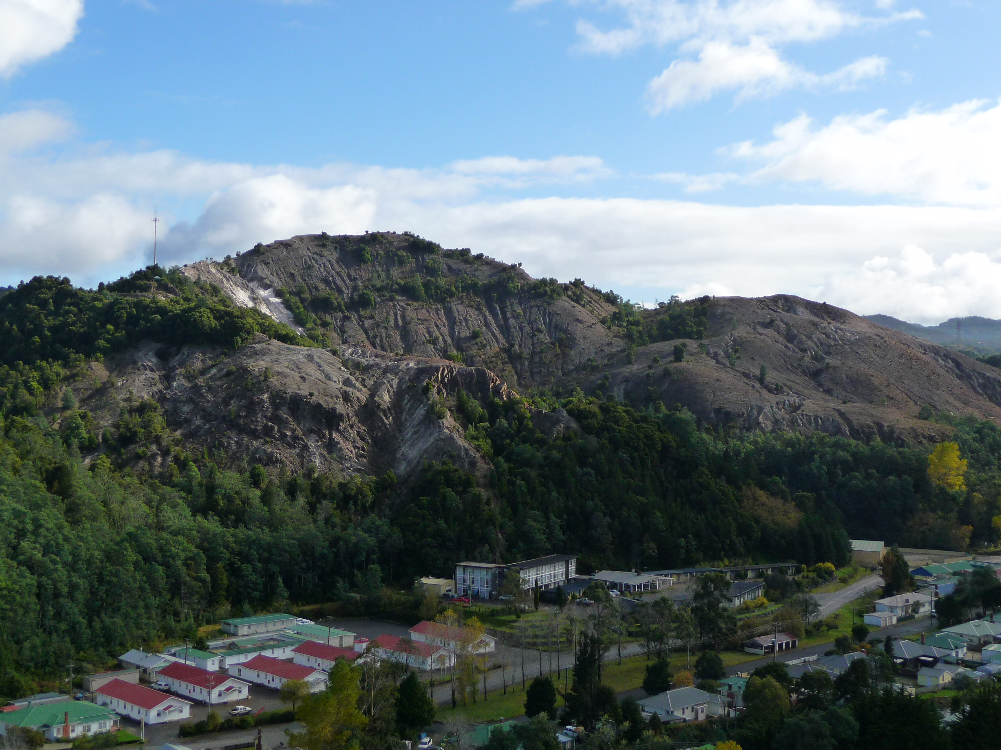
It’s quite a town here. Then along my way the first signs of the mining and the results became visible.
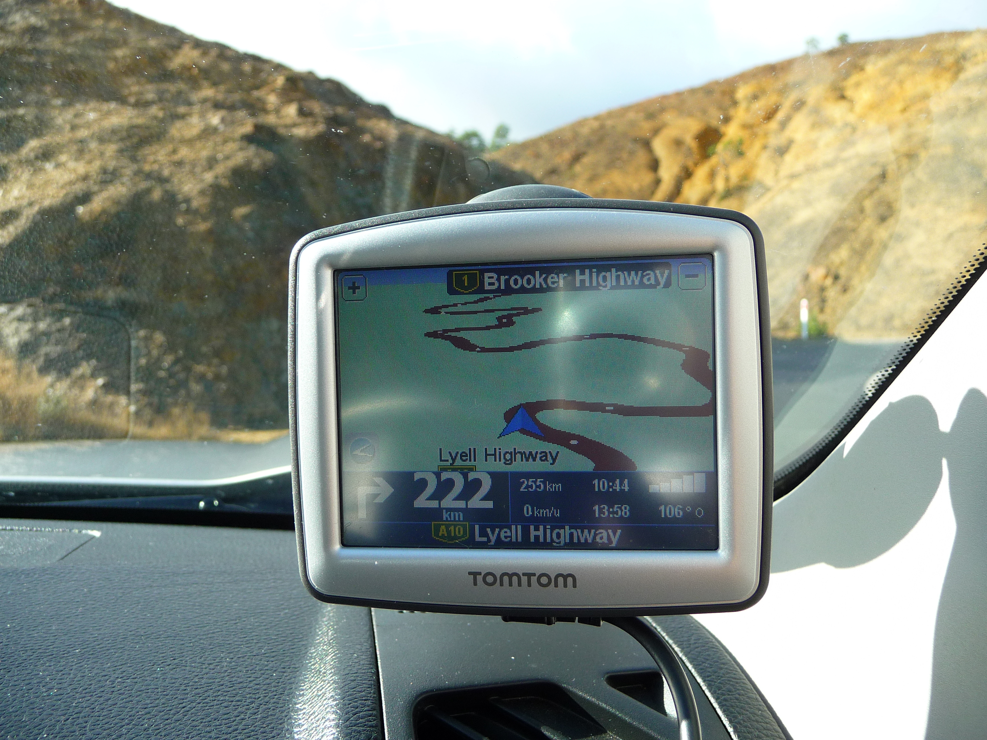
As I mentioned in previous posts, this country is big. And Tasmania is no different. For today this results in the following info from Bloke and Sheila: turn right after 222 kilometers.
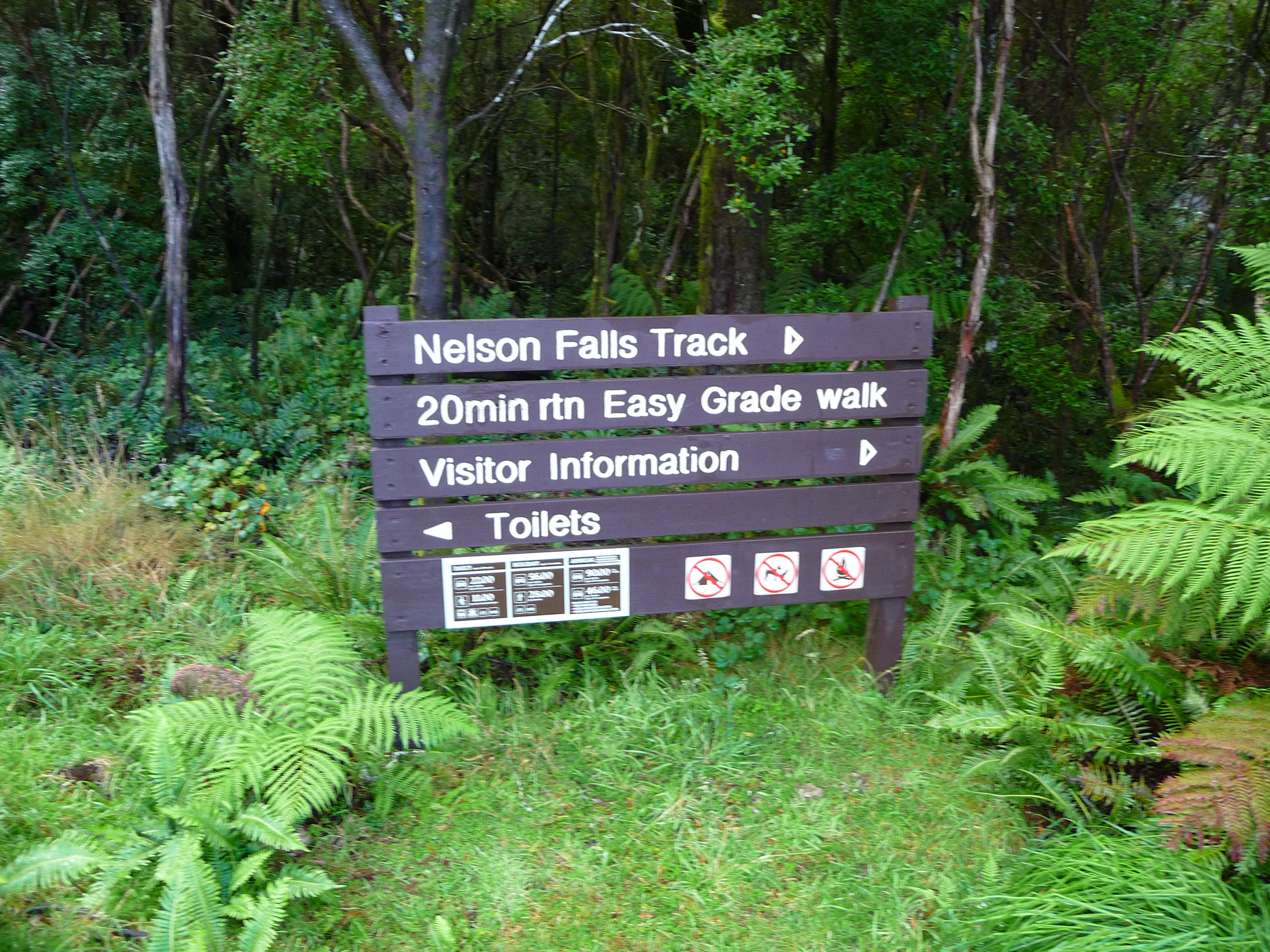
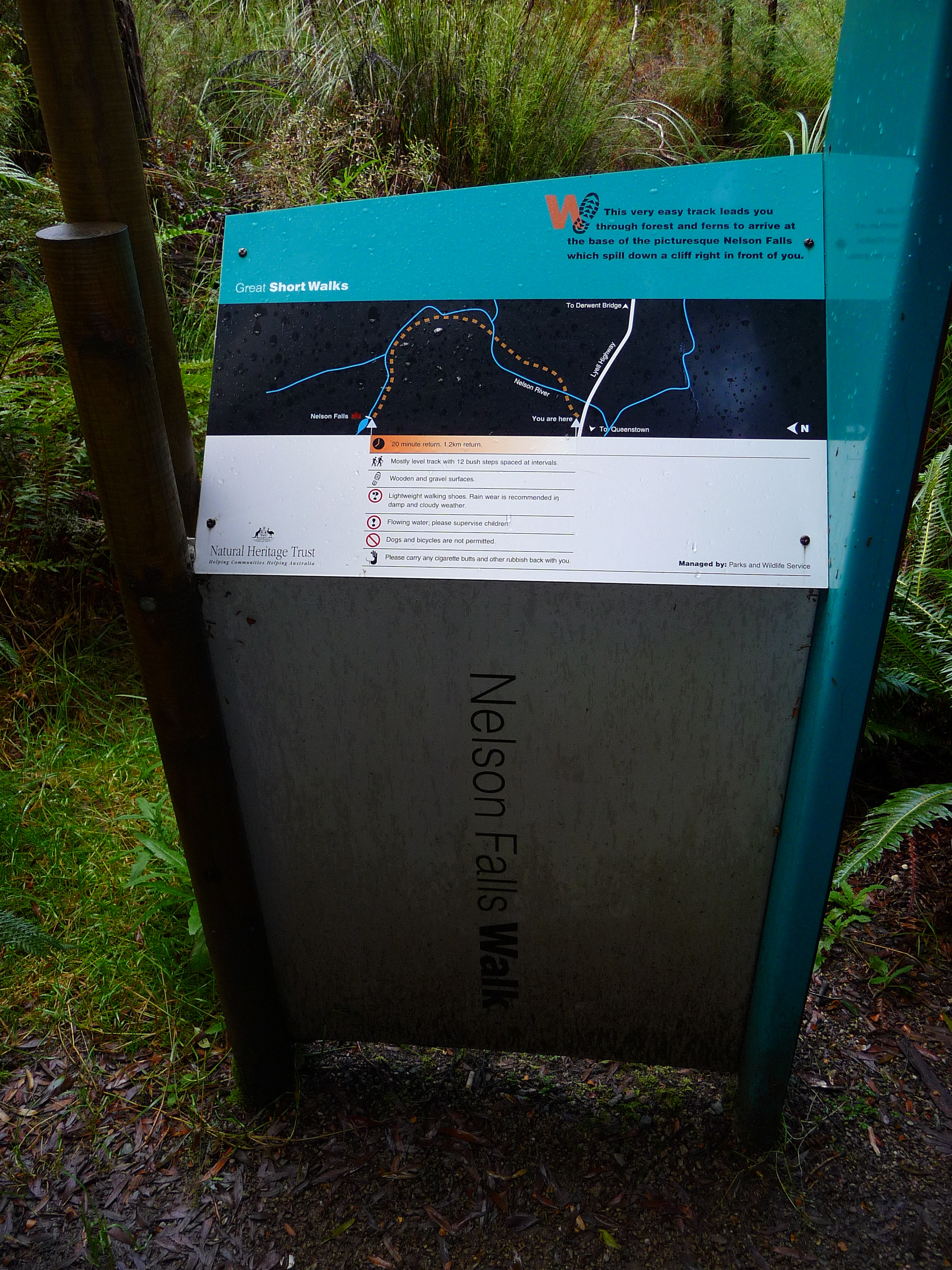
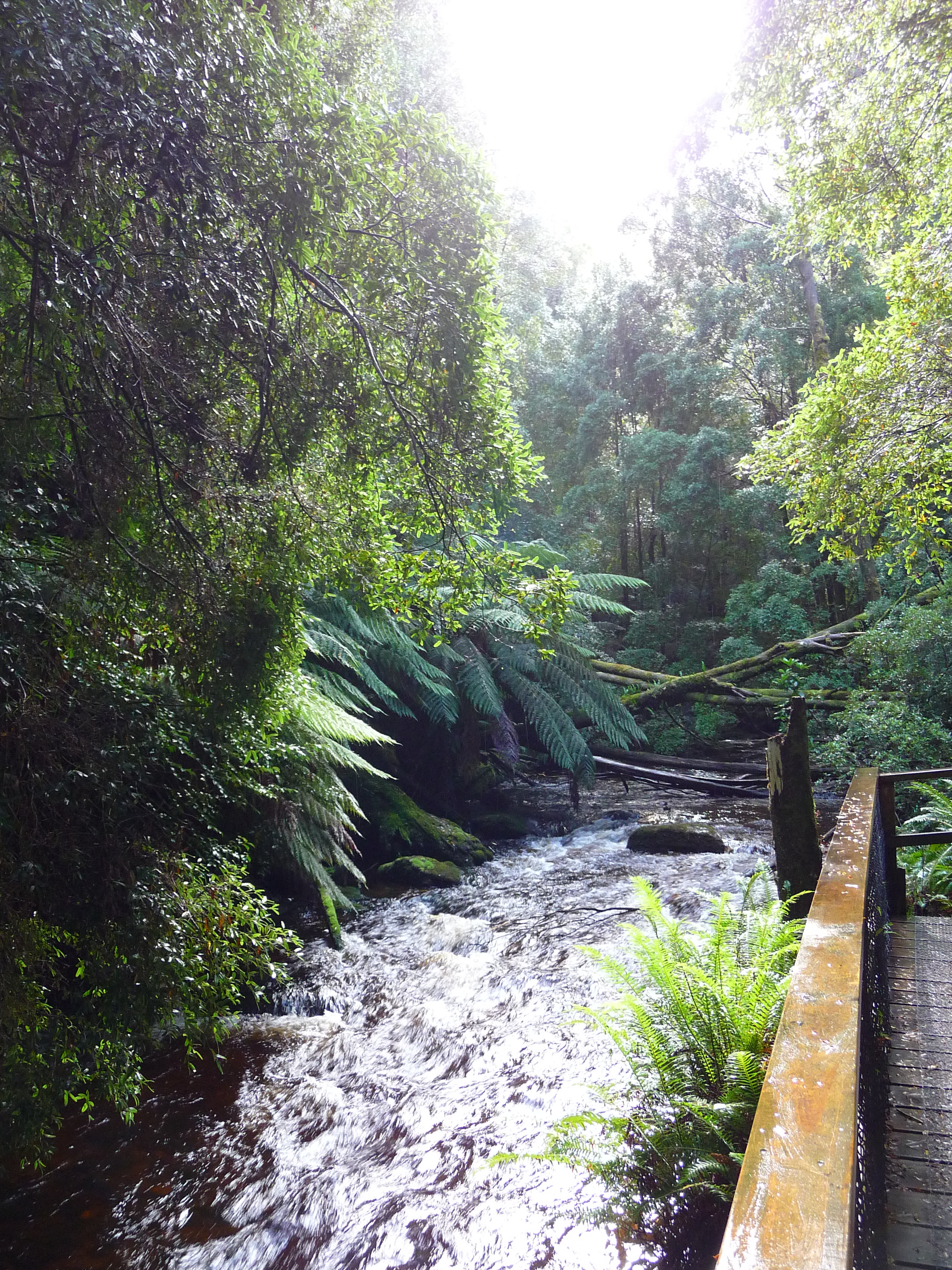
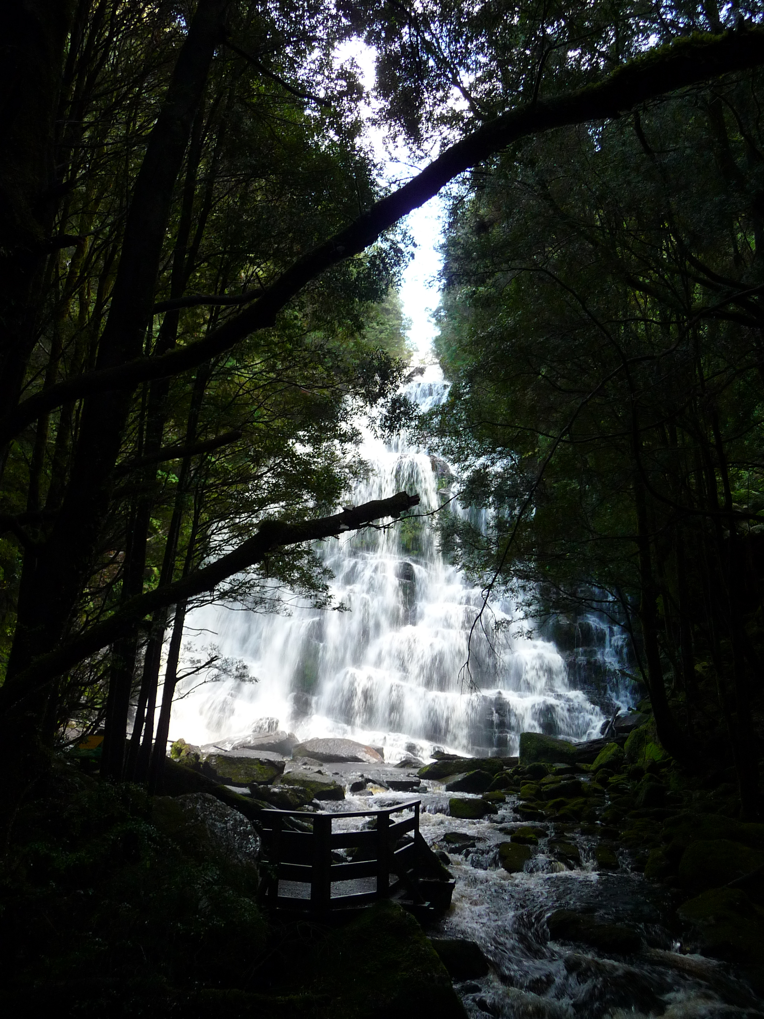
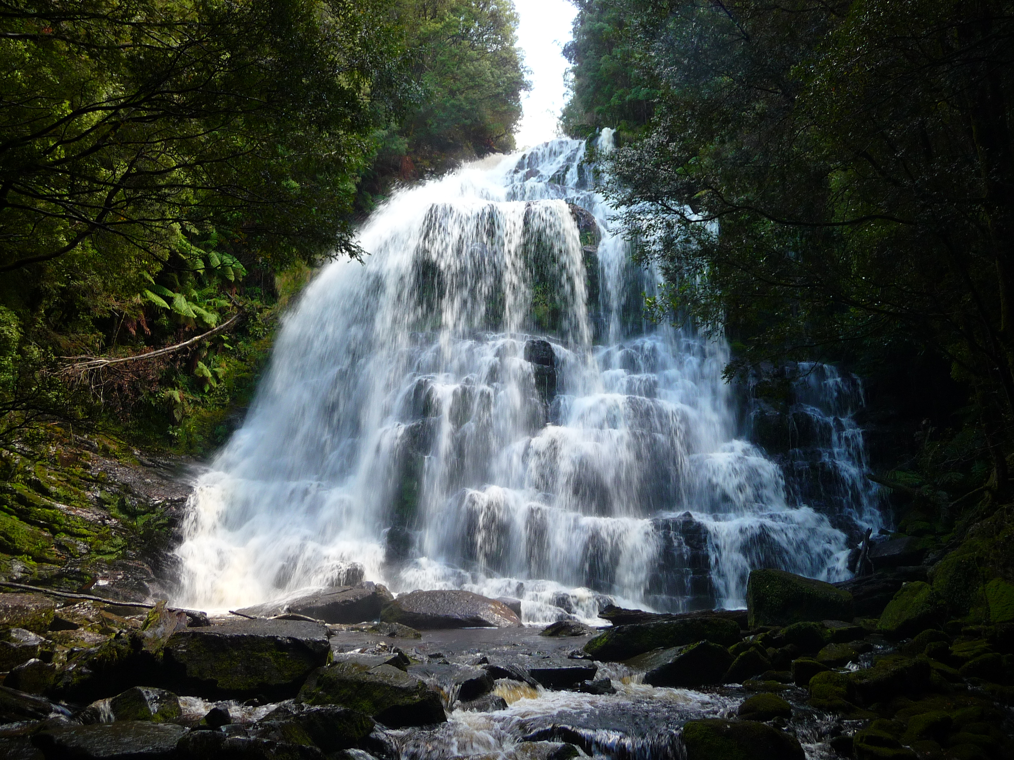
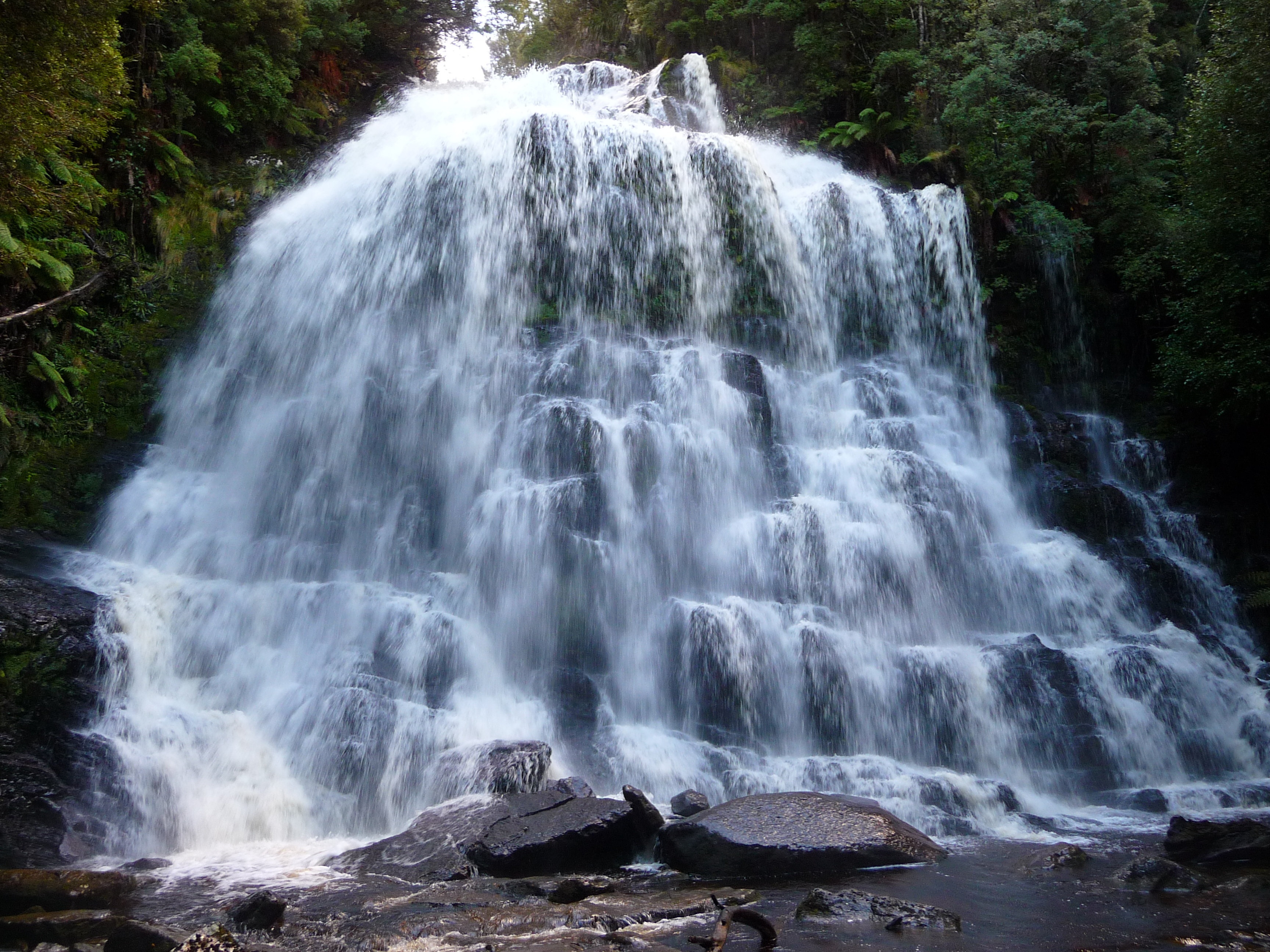
Well, I did some homework before I left Strahan. And I found out that I need to stop a certain points along my route today. And this is the first one: Nelson Falls. It’s massive…
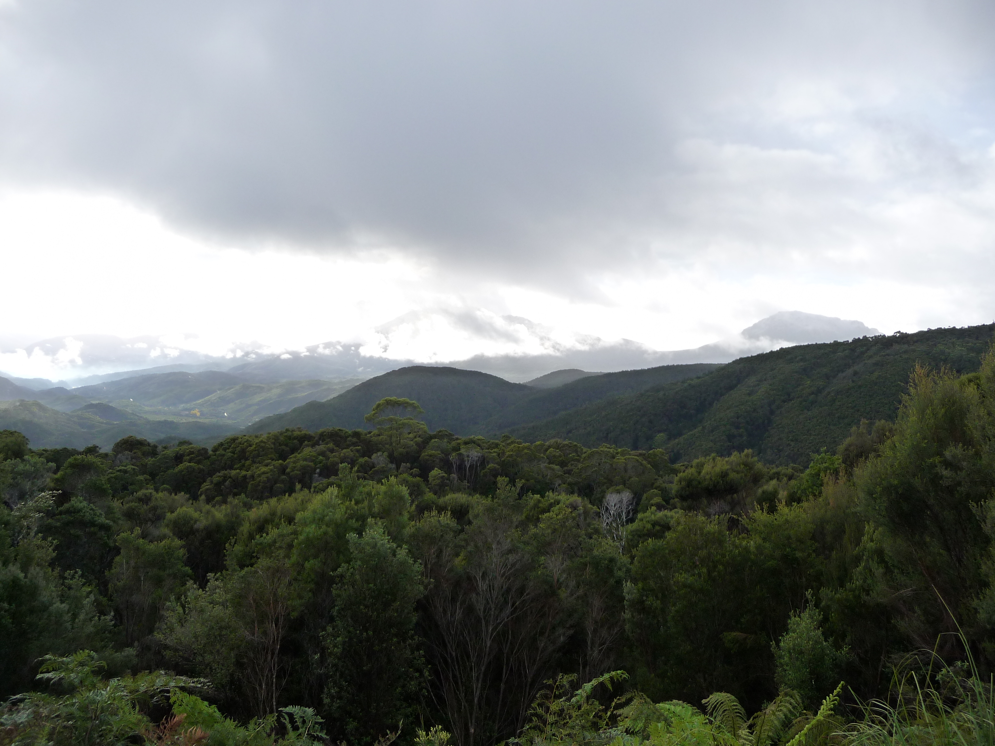
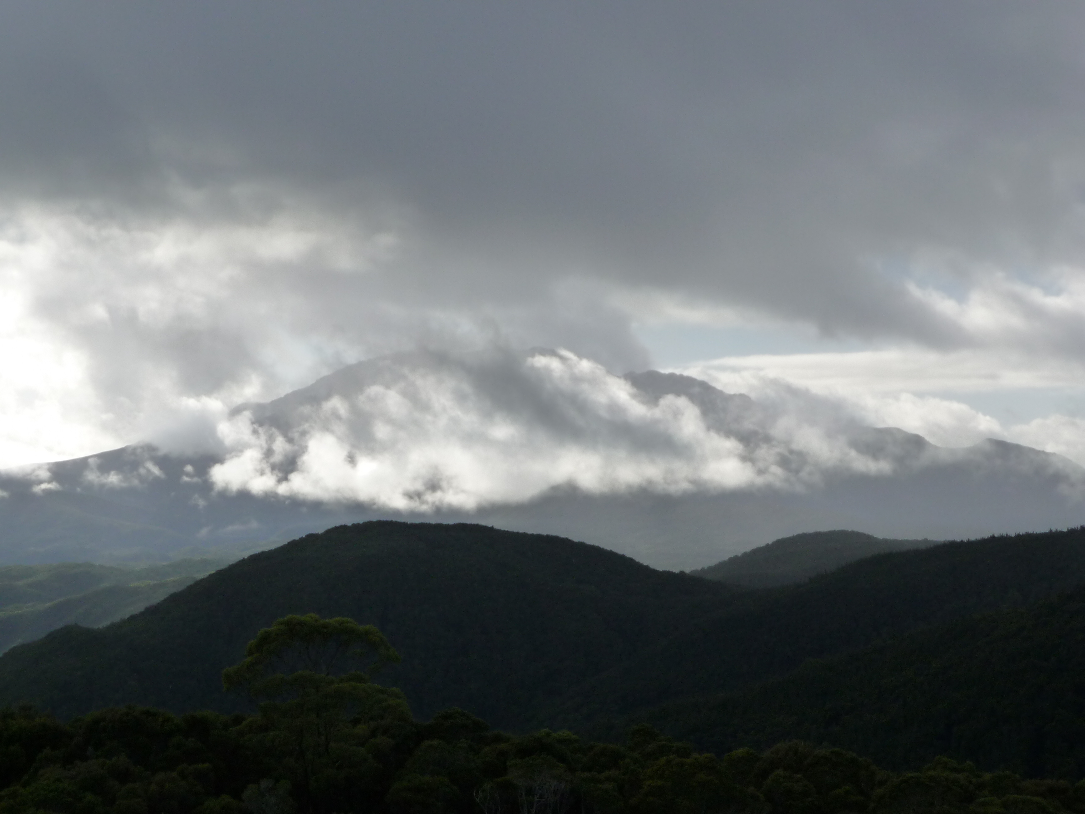
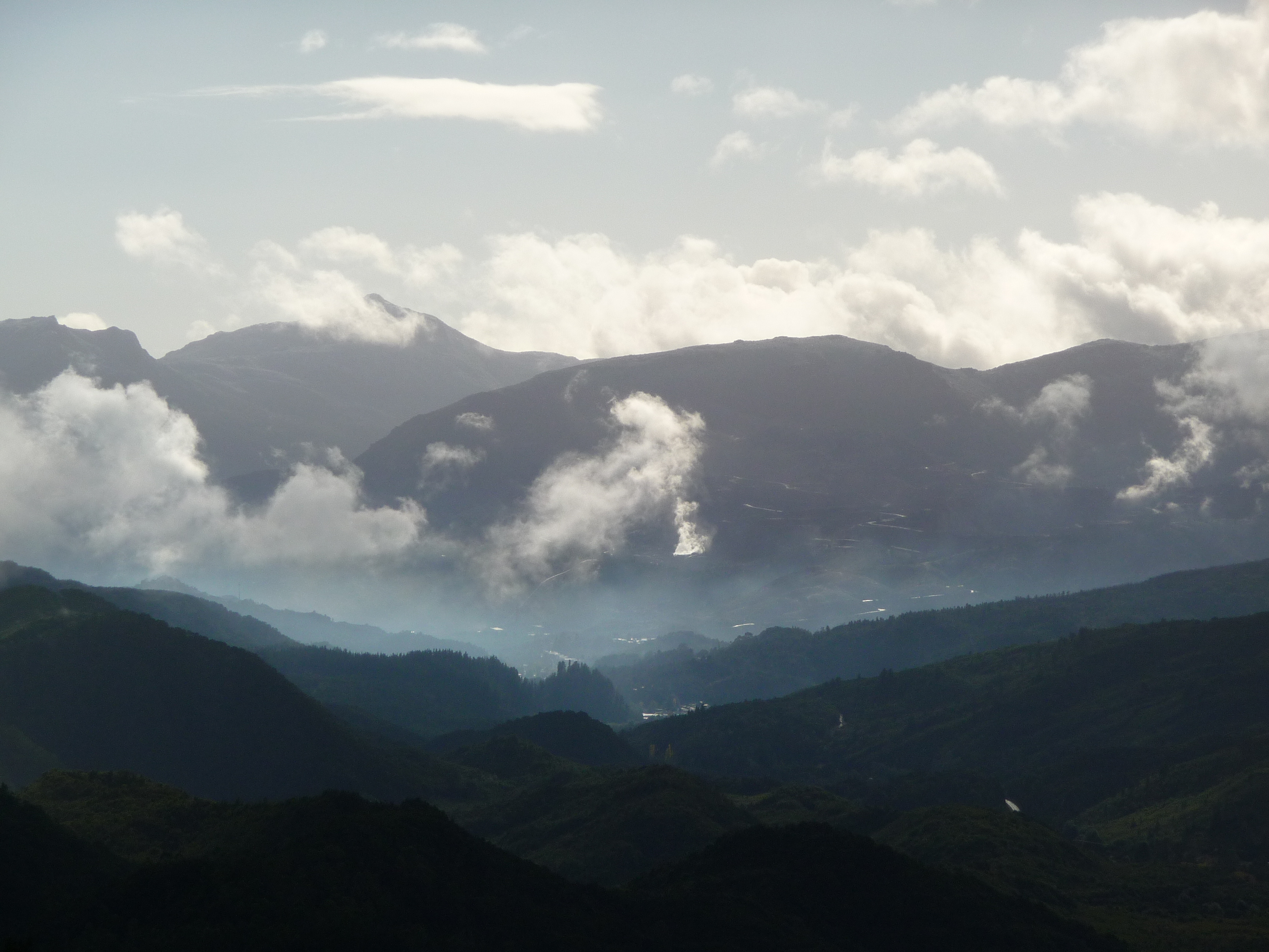
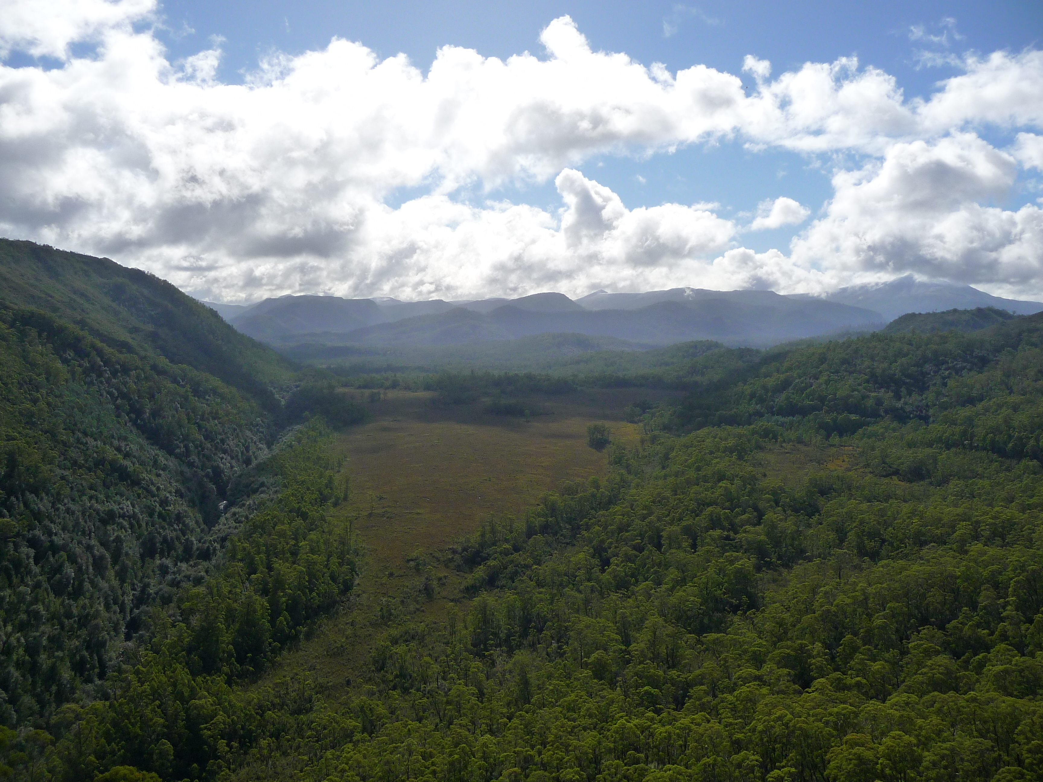
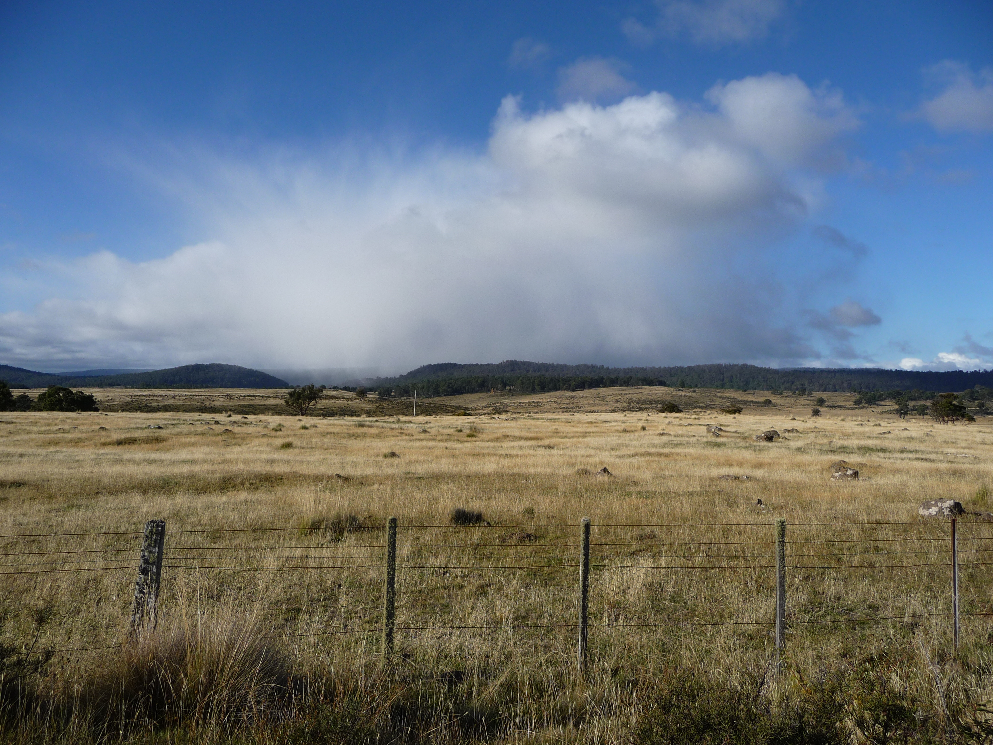
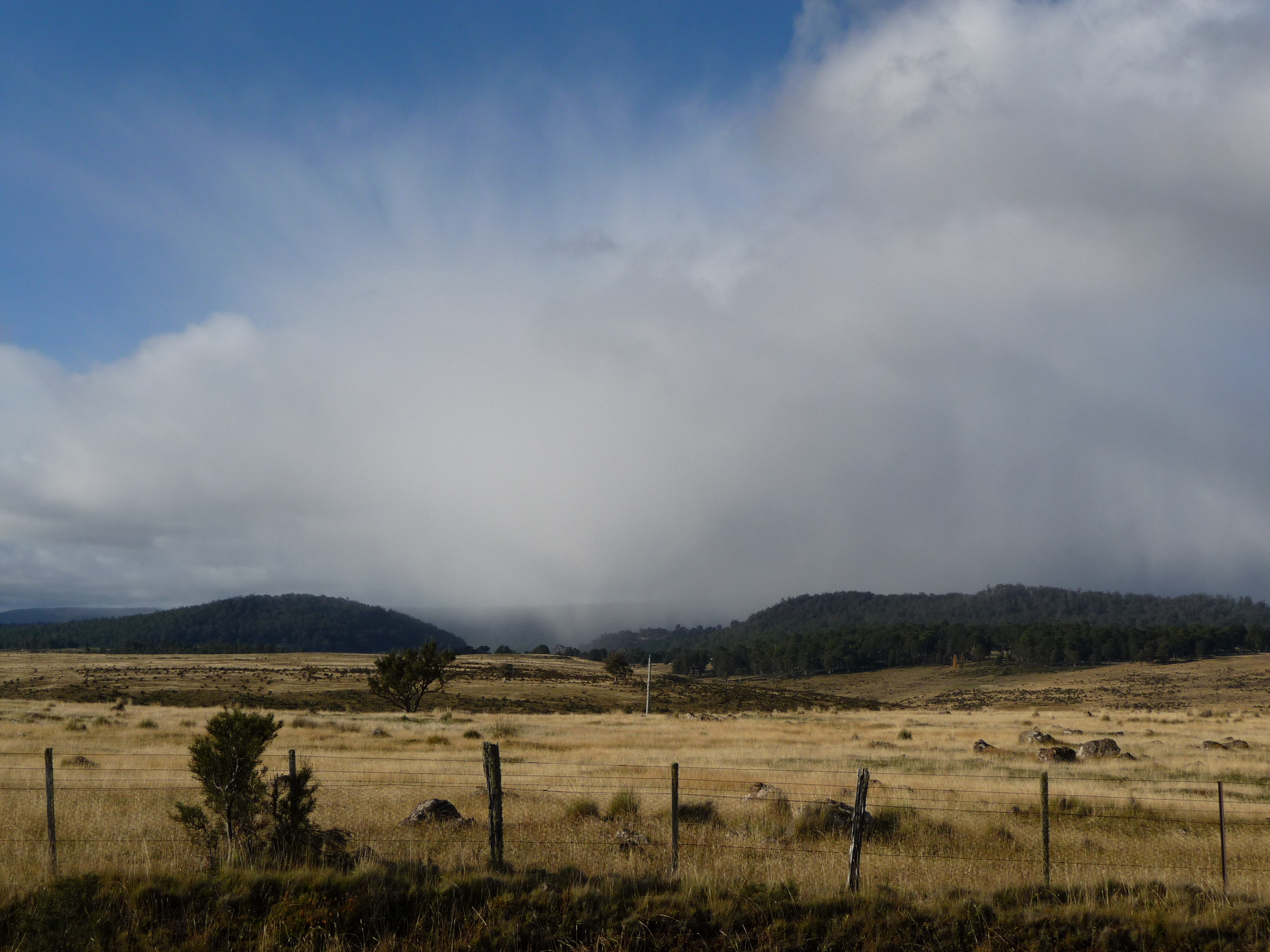
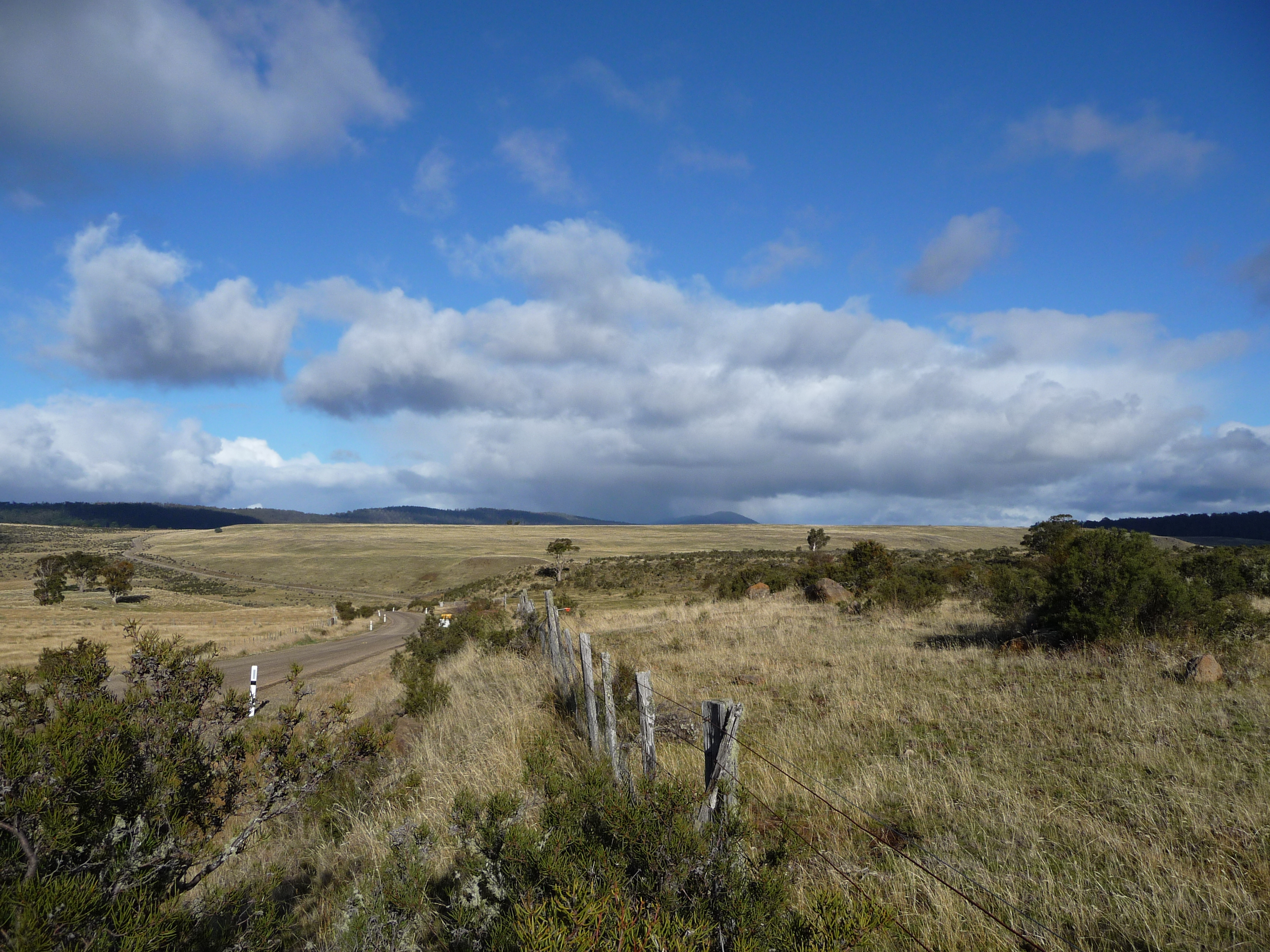
Back on the road, the scenery changes. I have reached a plateau after going up and down for the last few hours. And these are the new views.
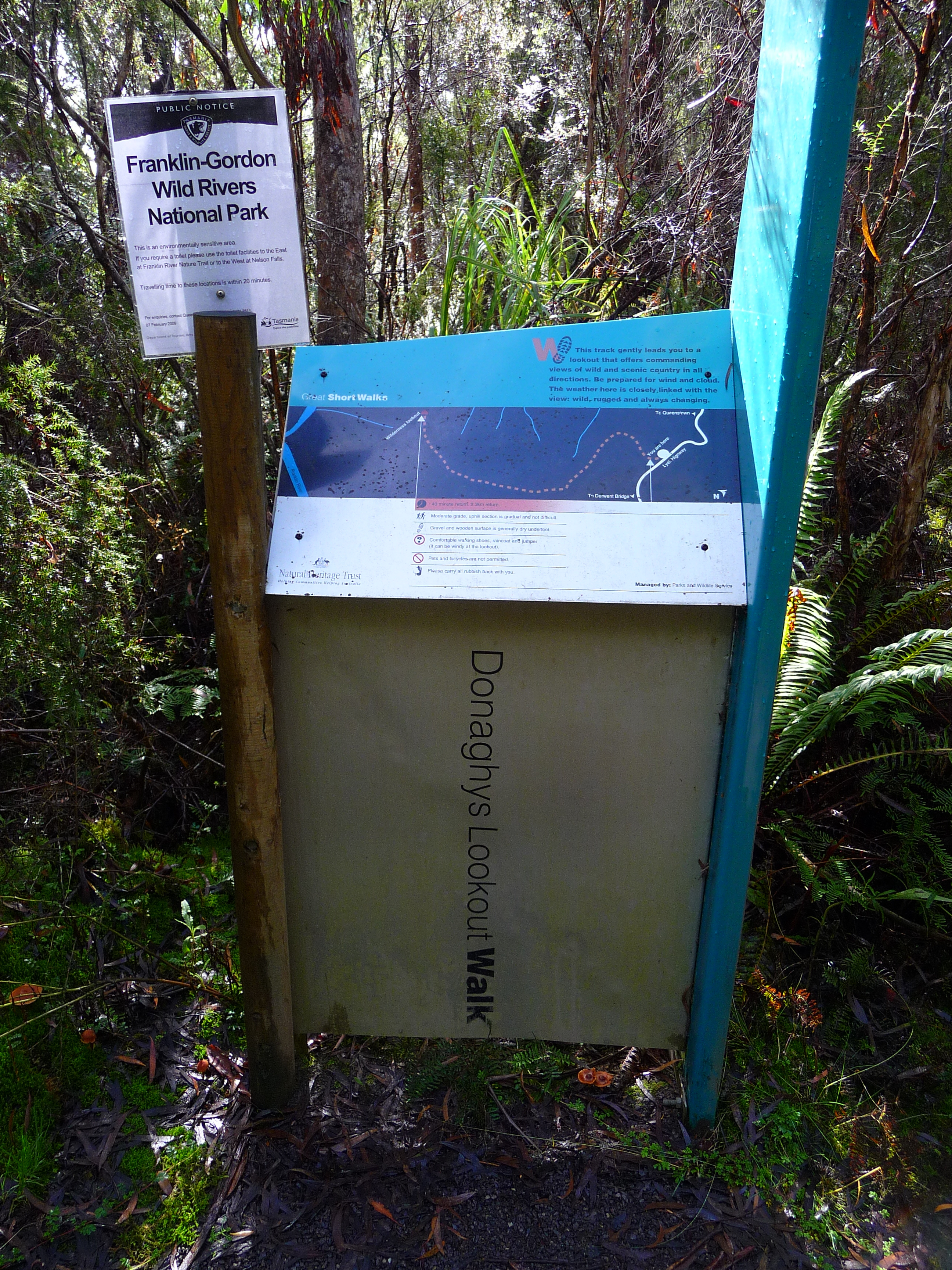
Next planned stop: Donaghys Hill.
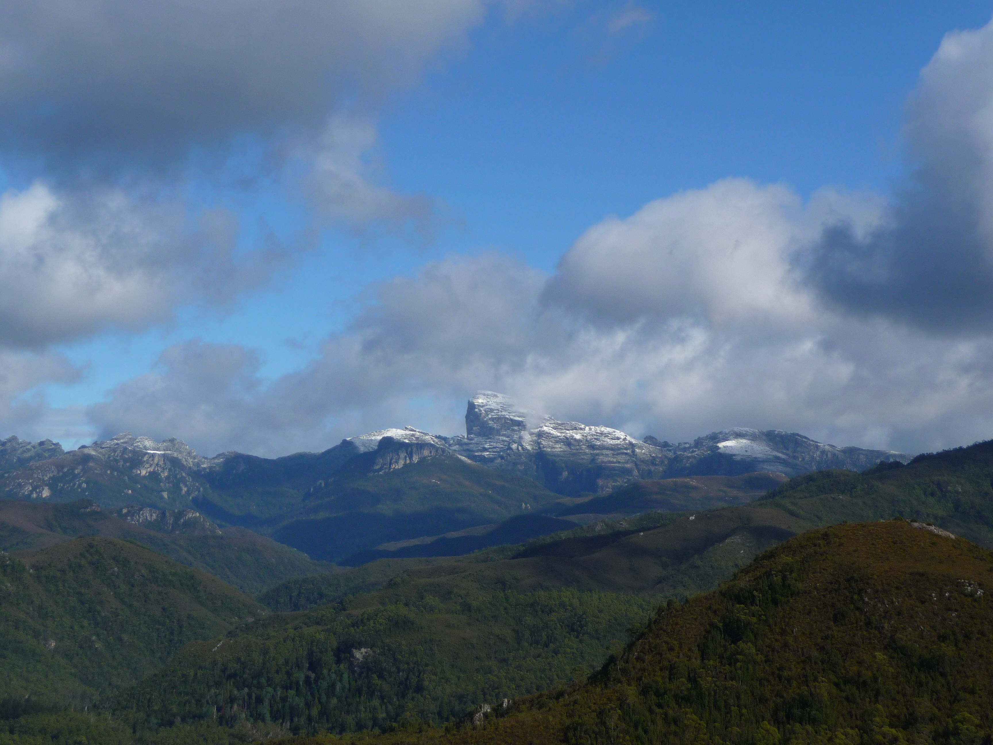
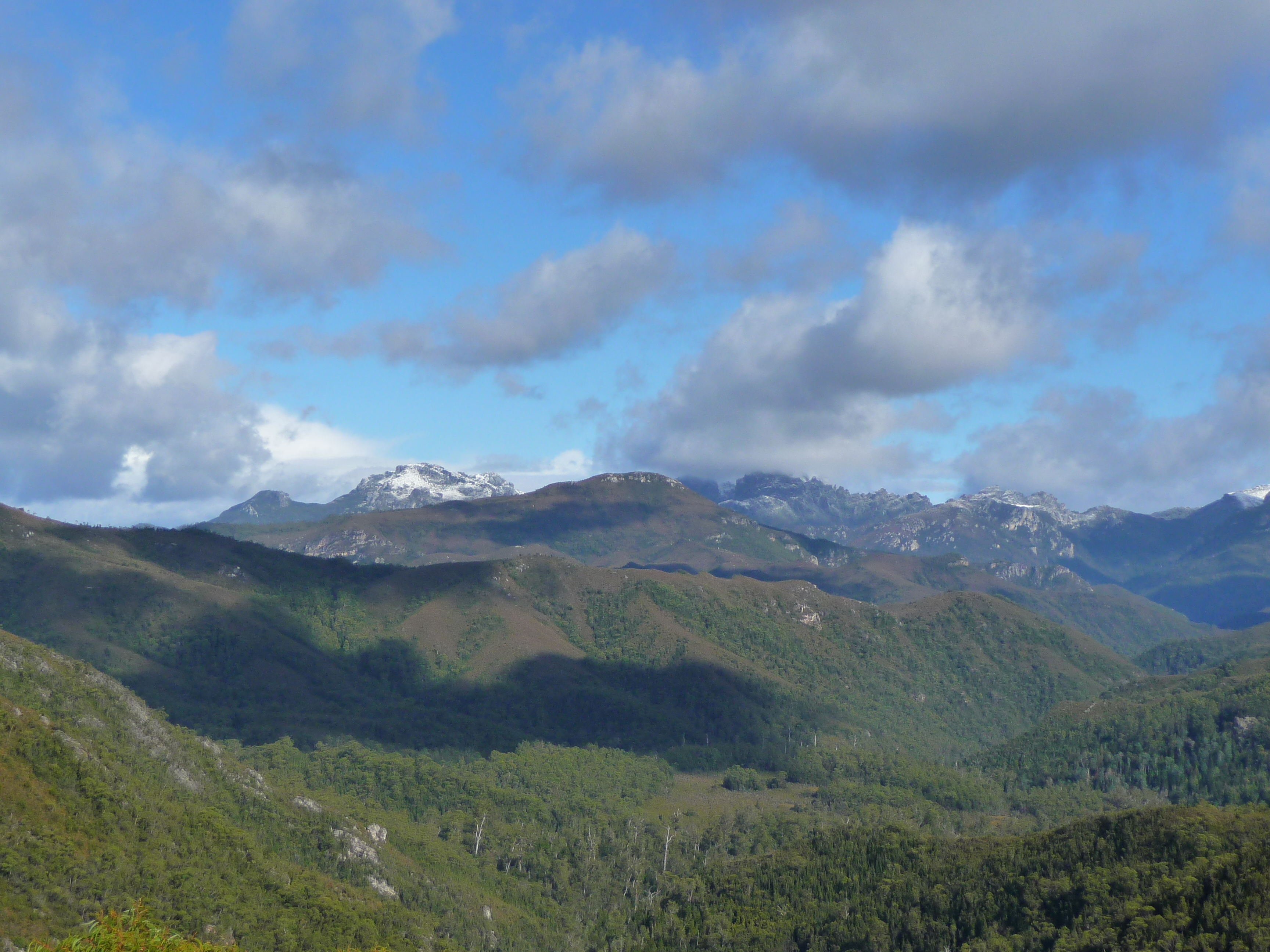
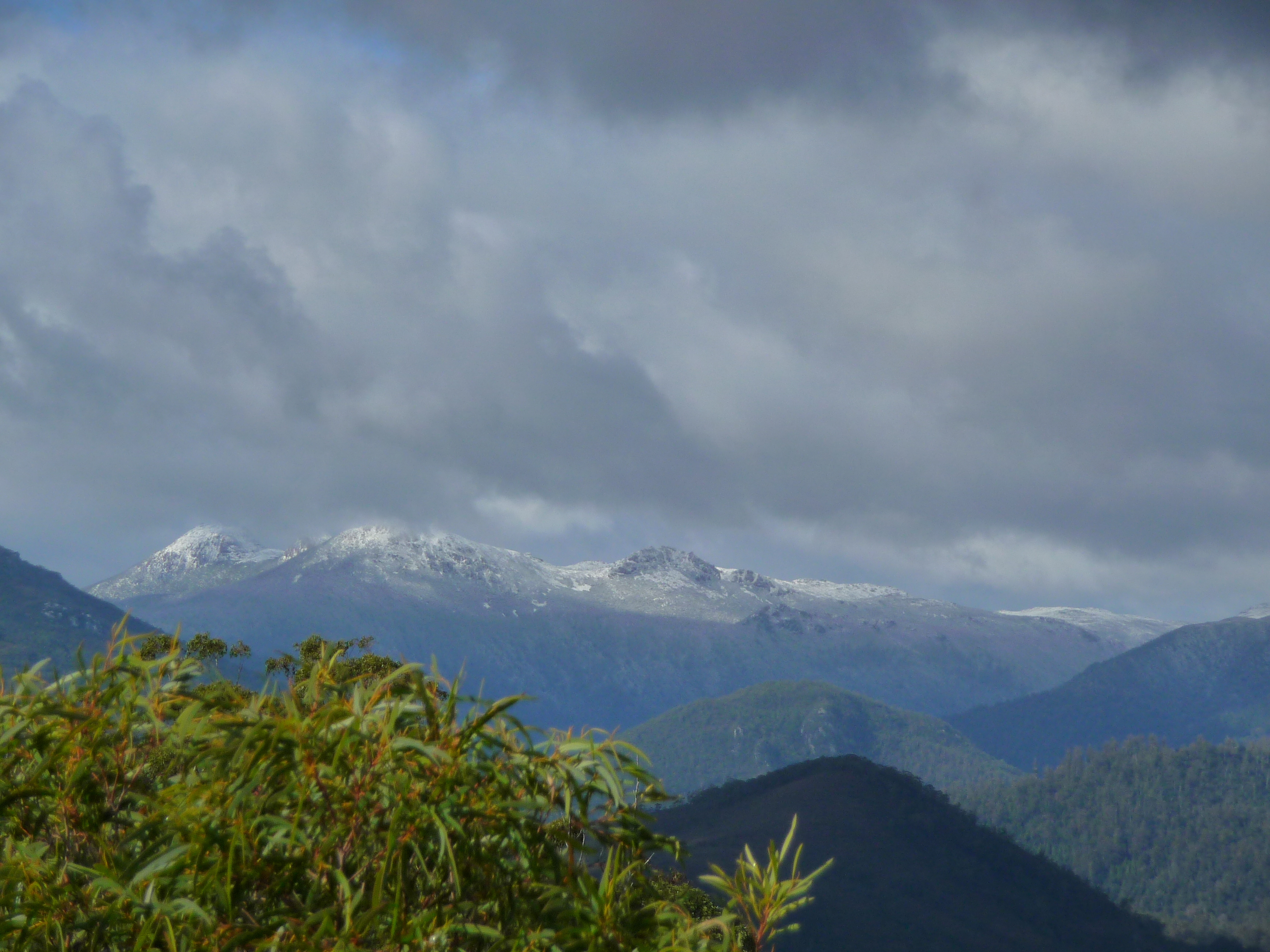
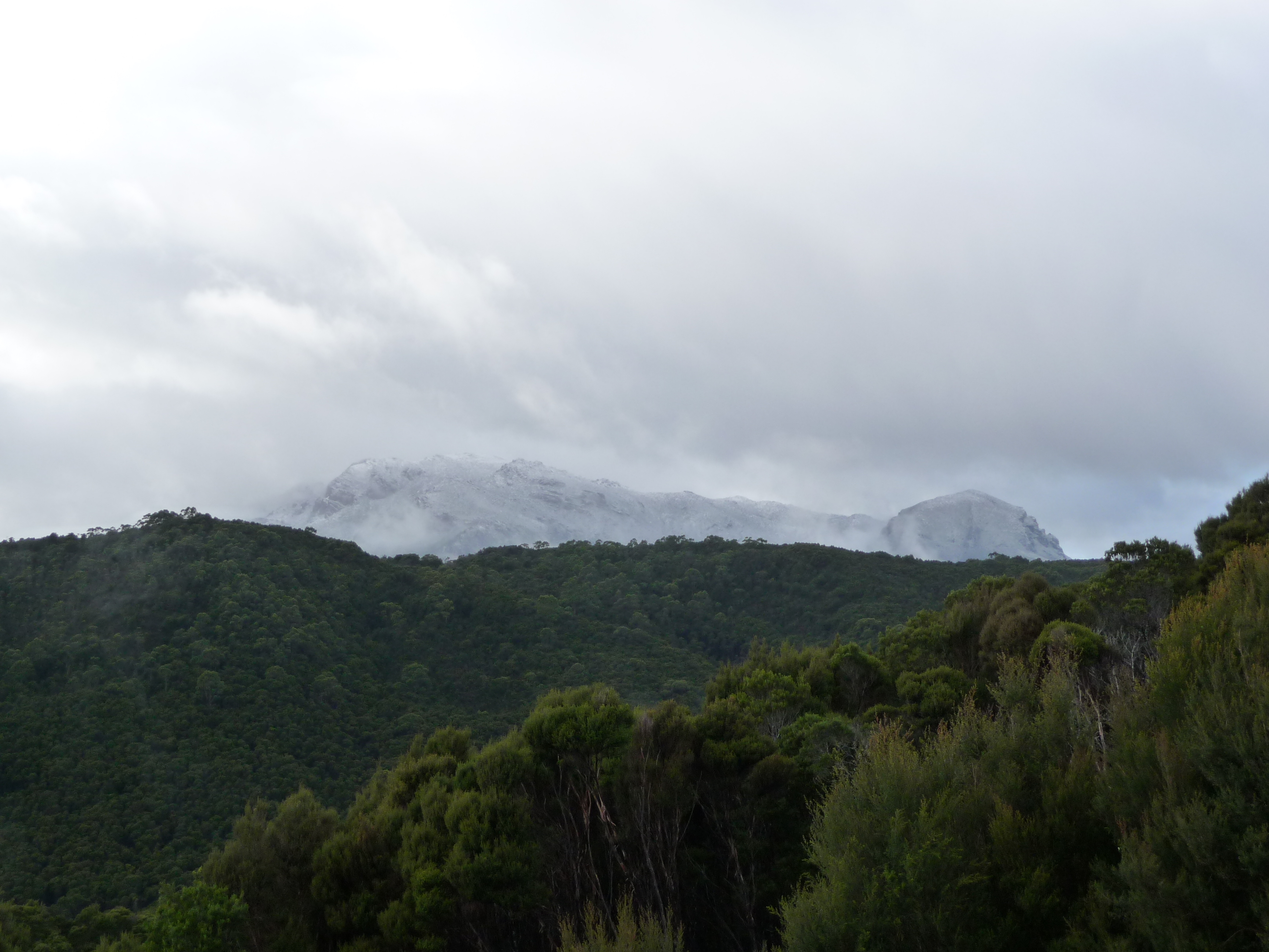
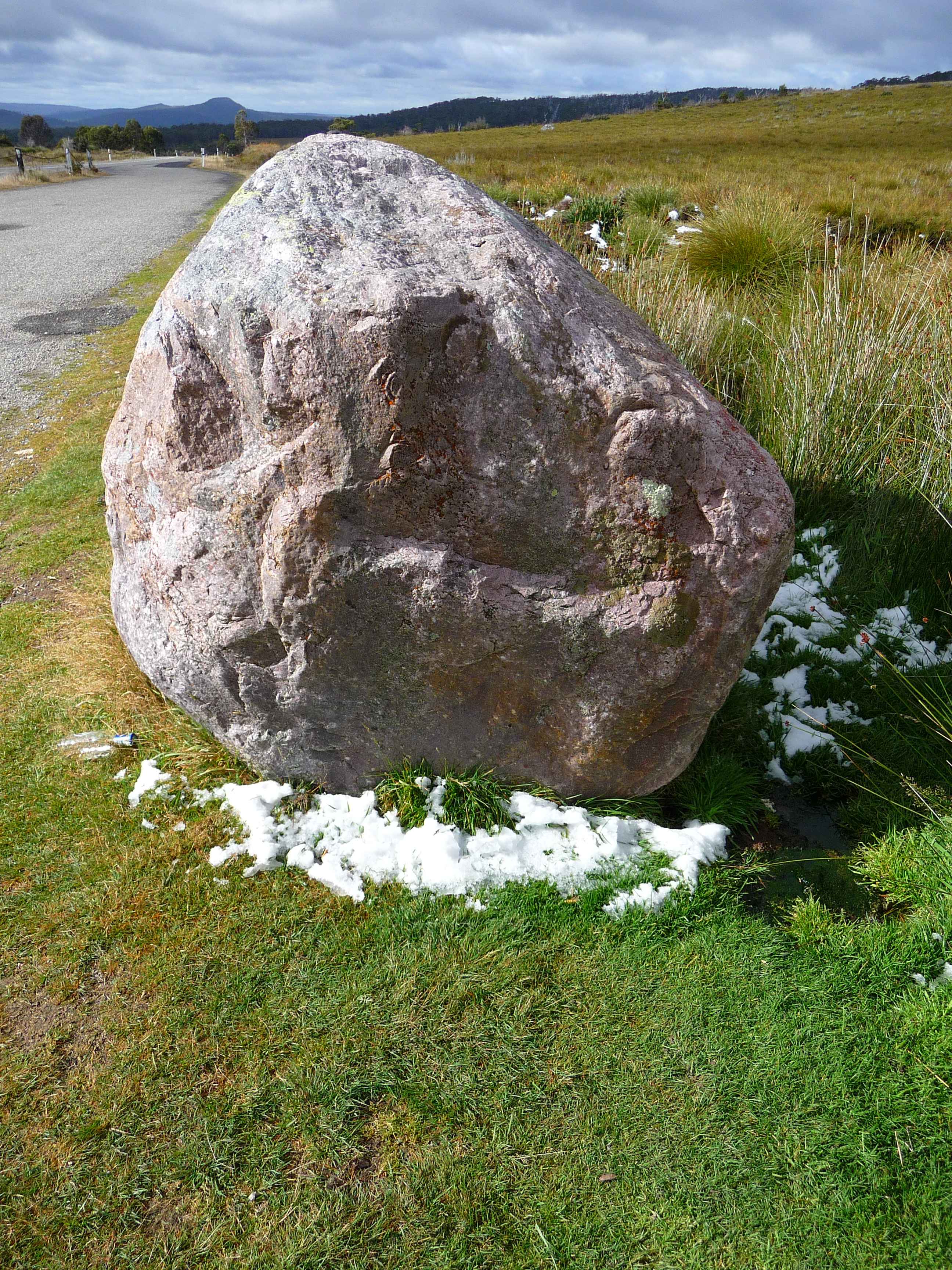
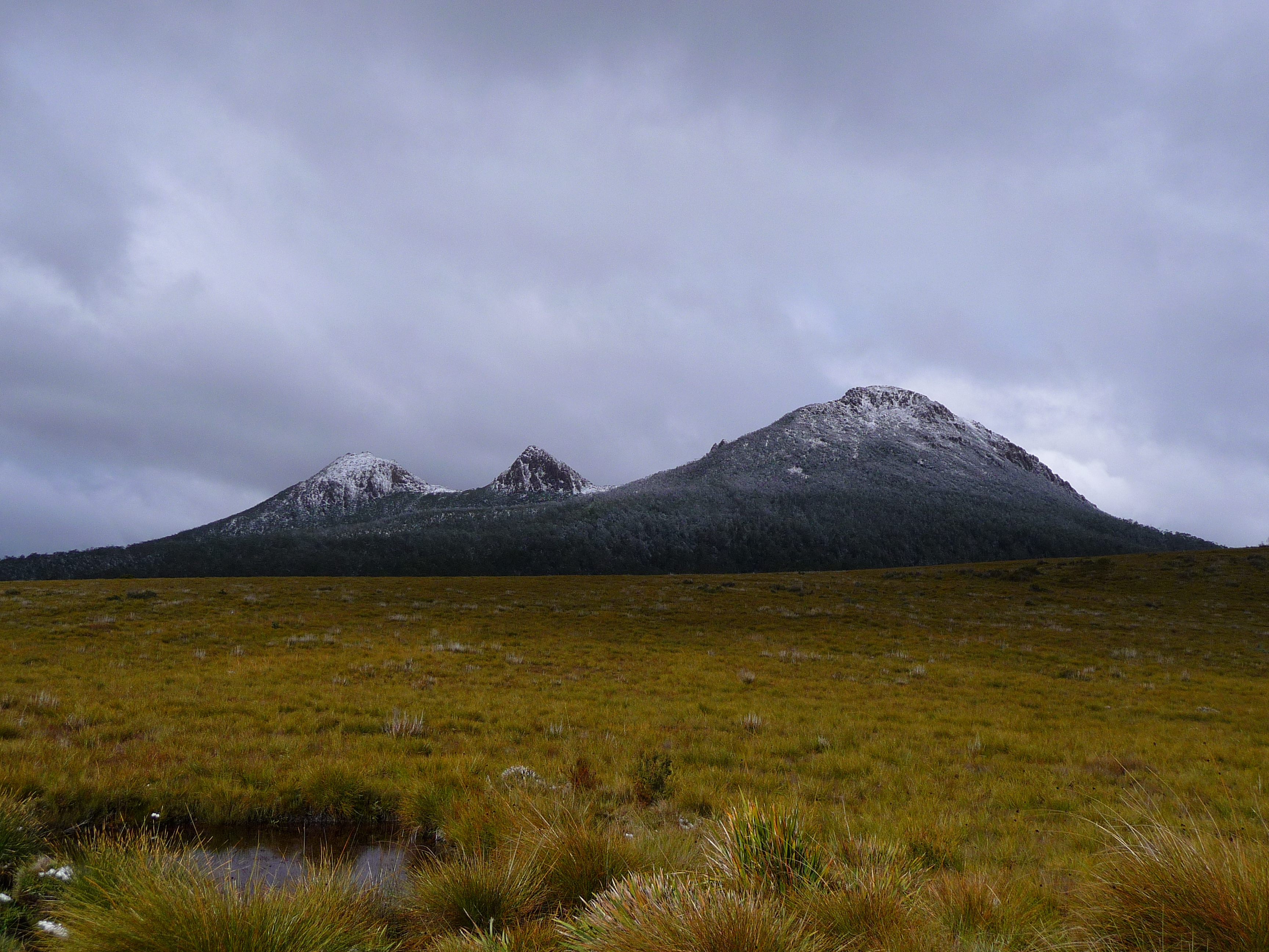
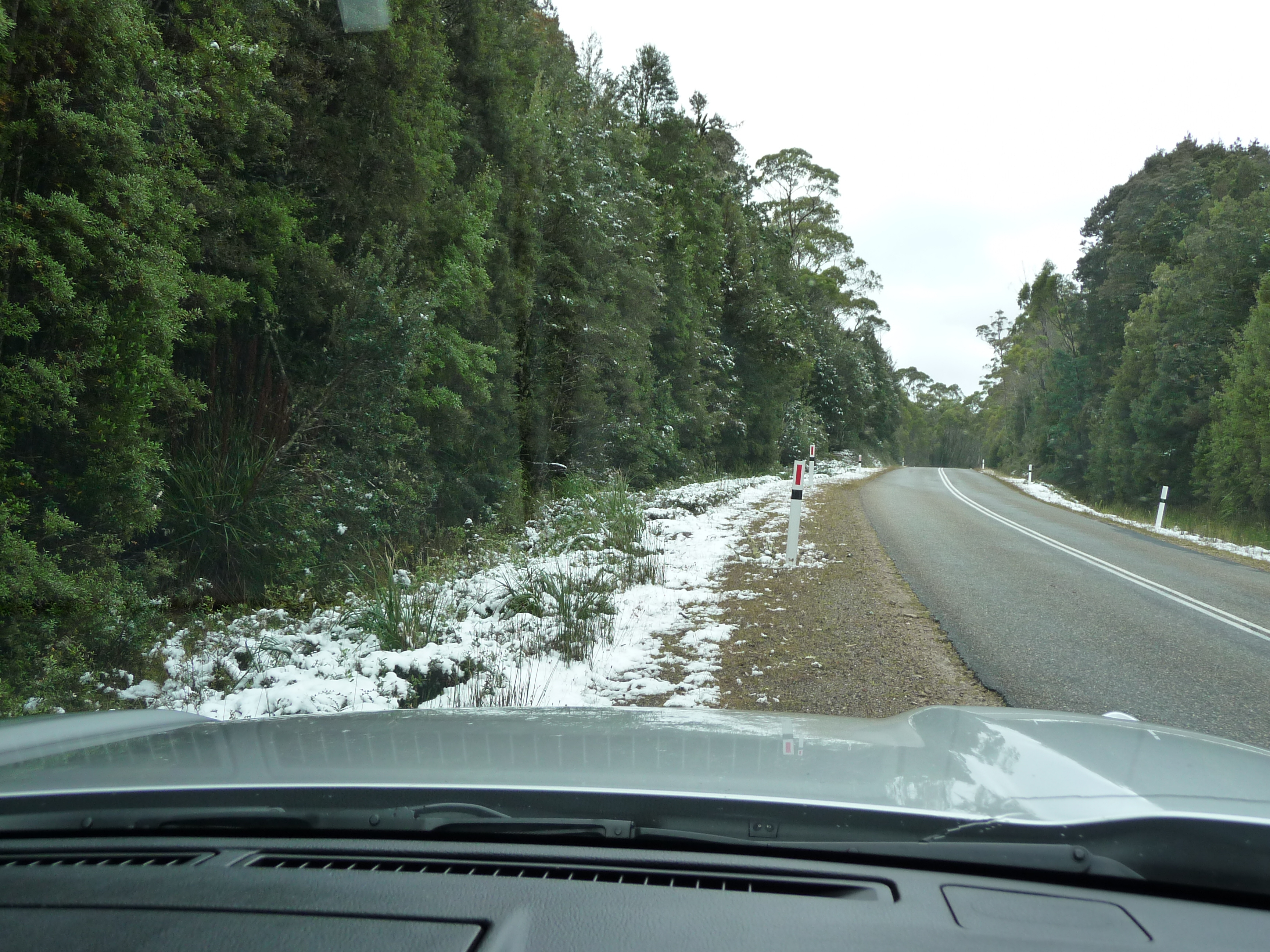
Some more snow on my way.
After this I got to Derwent Bridge; just a few houses, a pub and a gas station on this road to Hobart. But it is also the home of “The Wall in the wilderness”. Unfortunately you can’t take pictures inside the building, but believe me, this is worth stopping for.
A few more nice shots on my way from Derwent Bridge on to Tarraleah.
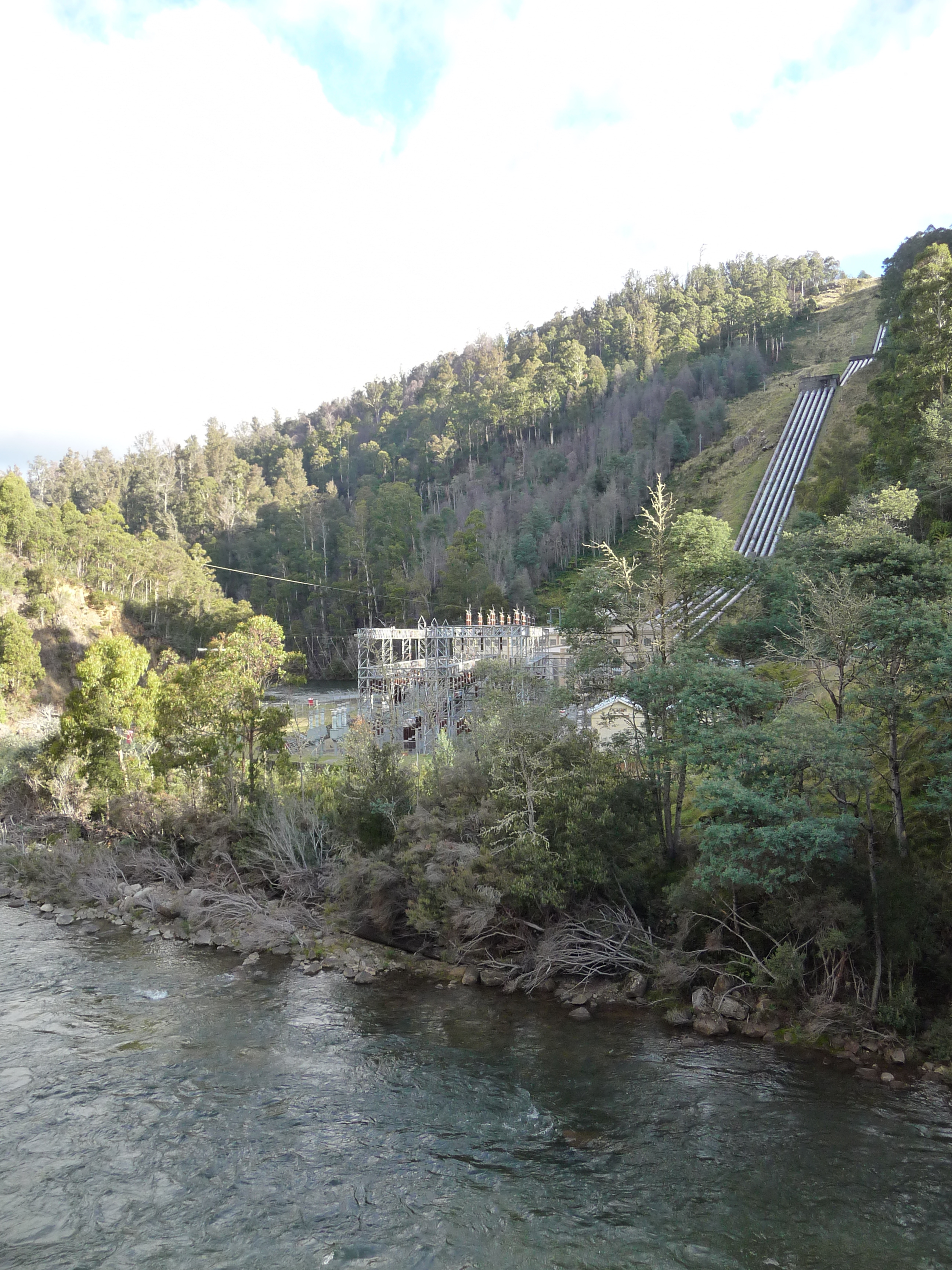
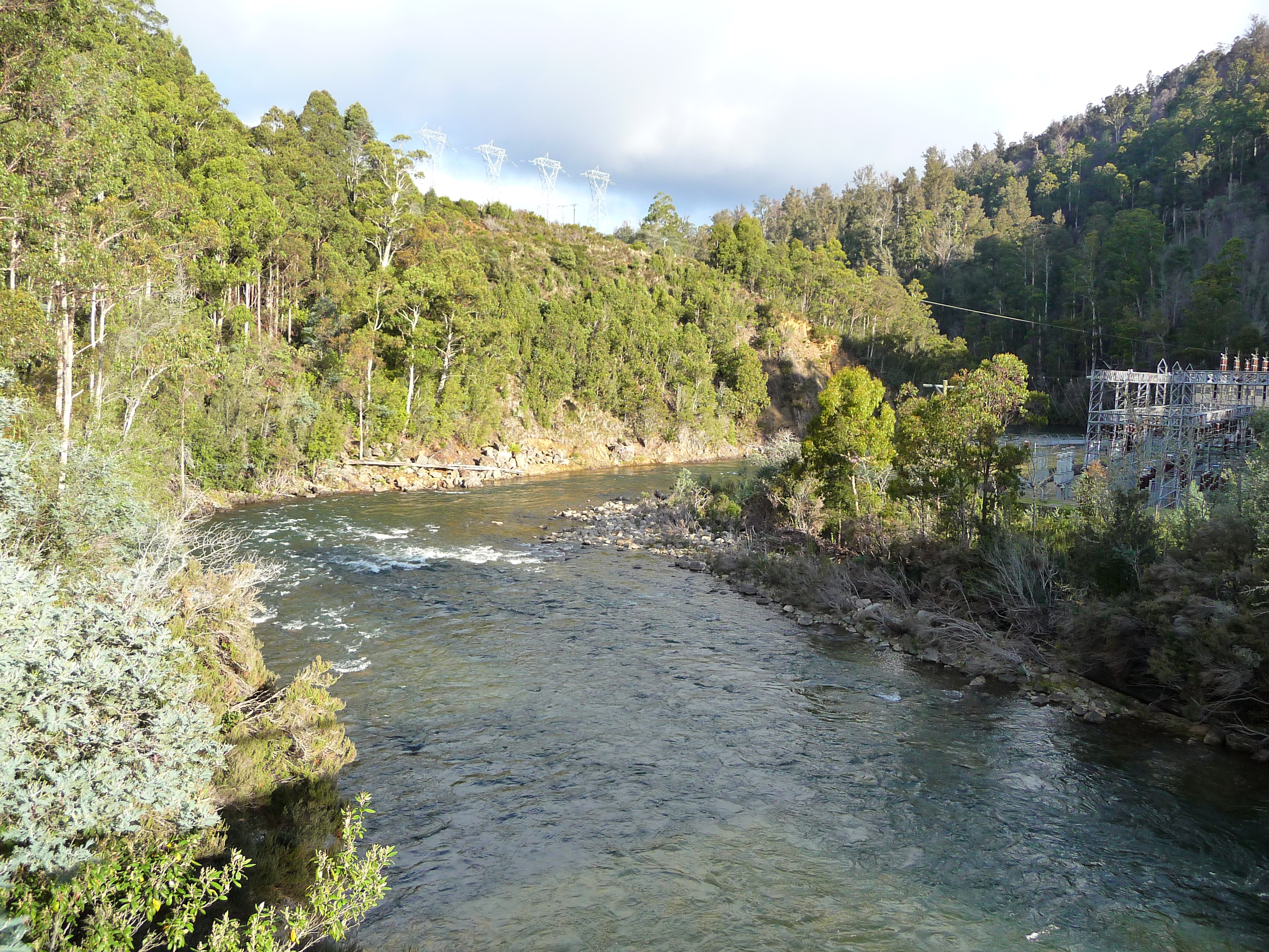
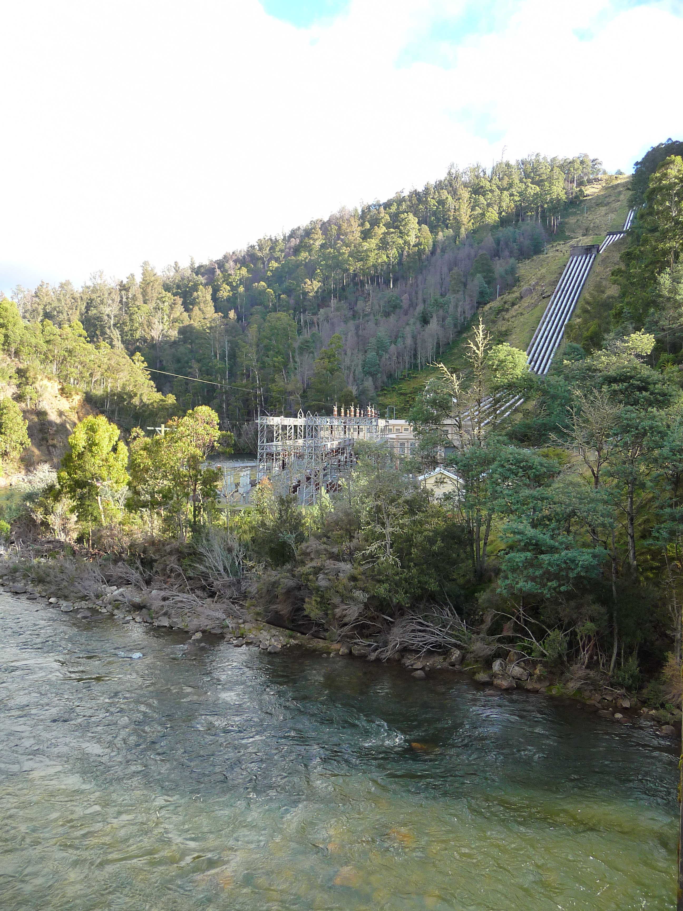
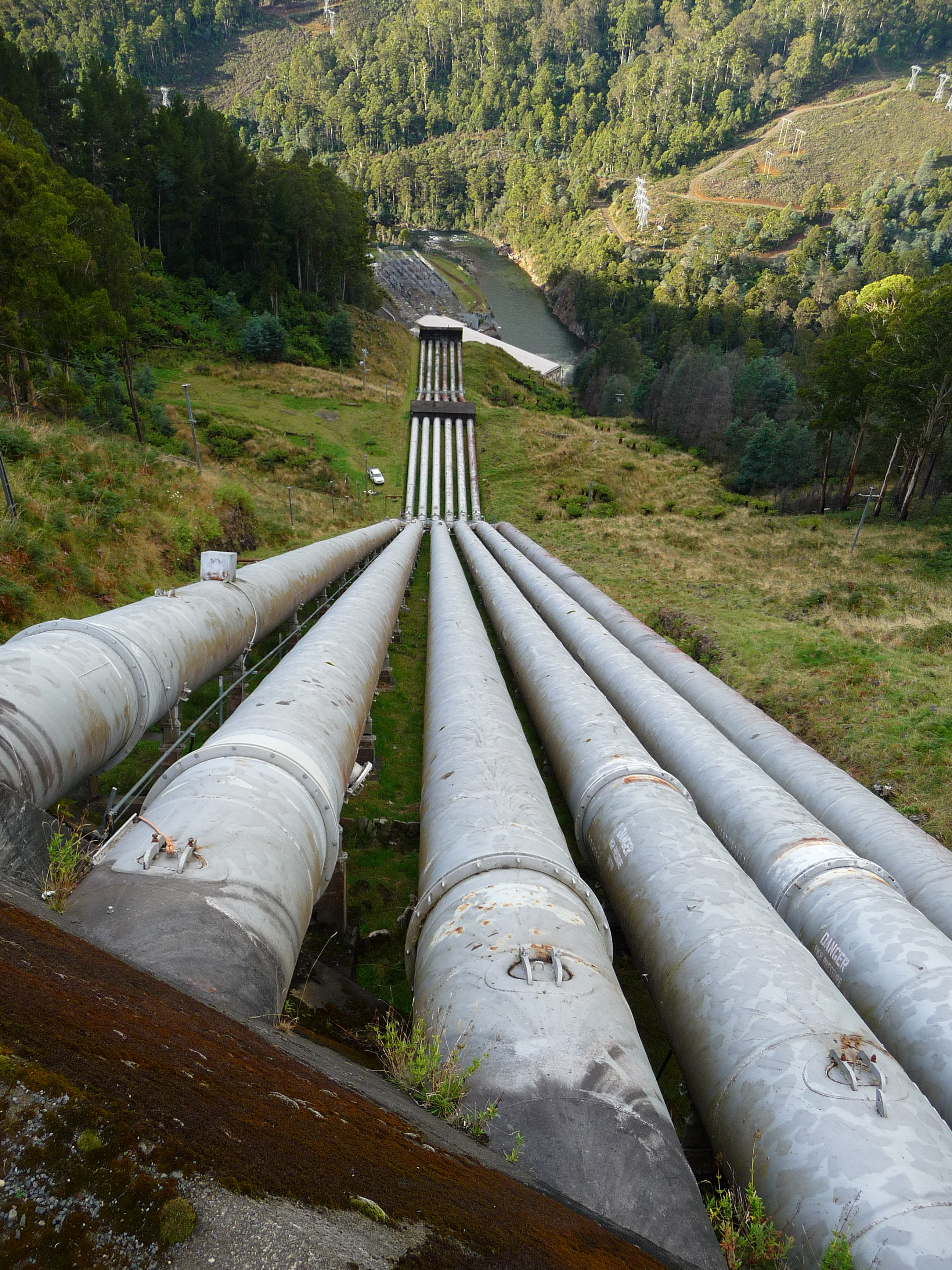
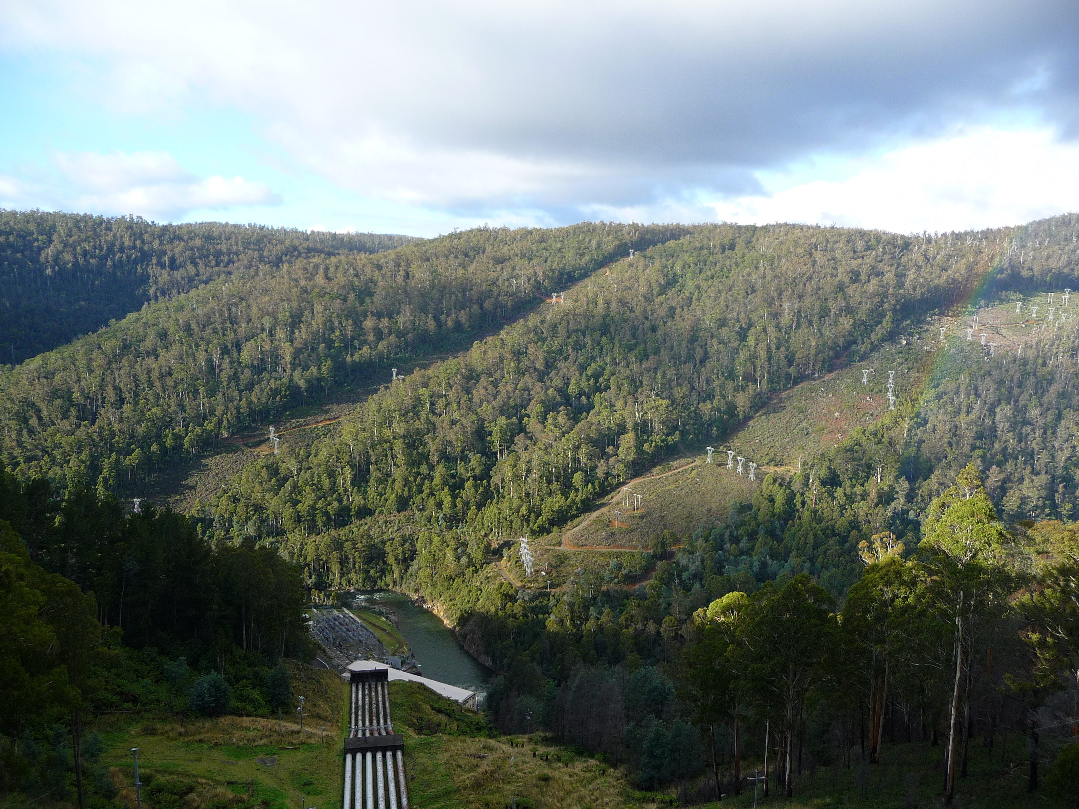
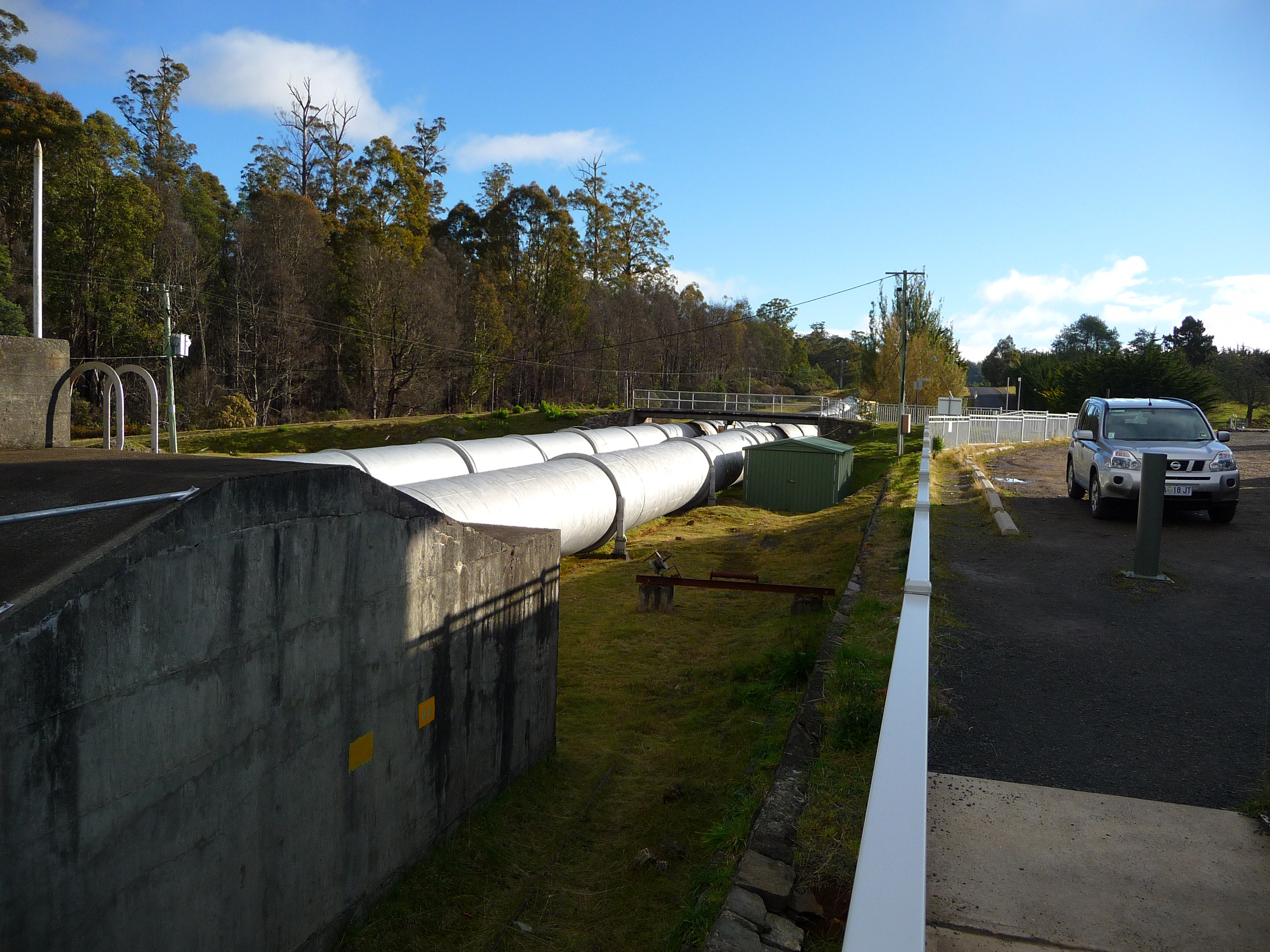
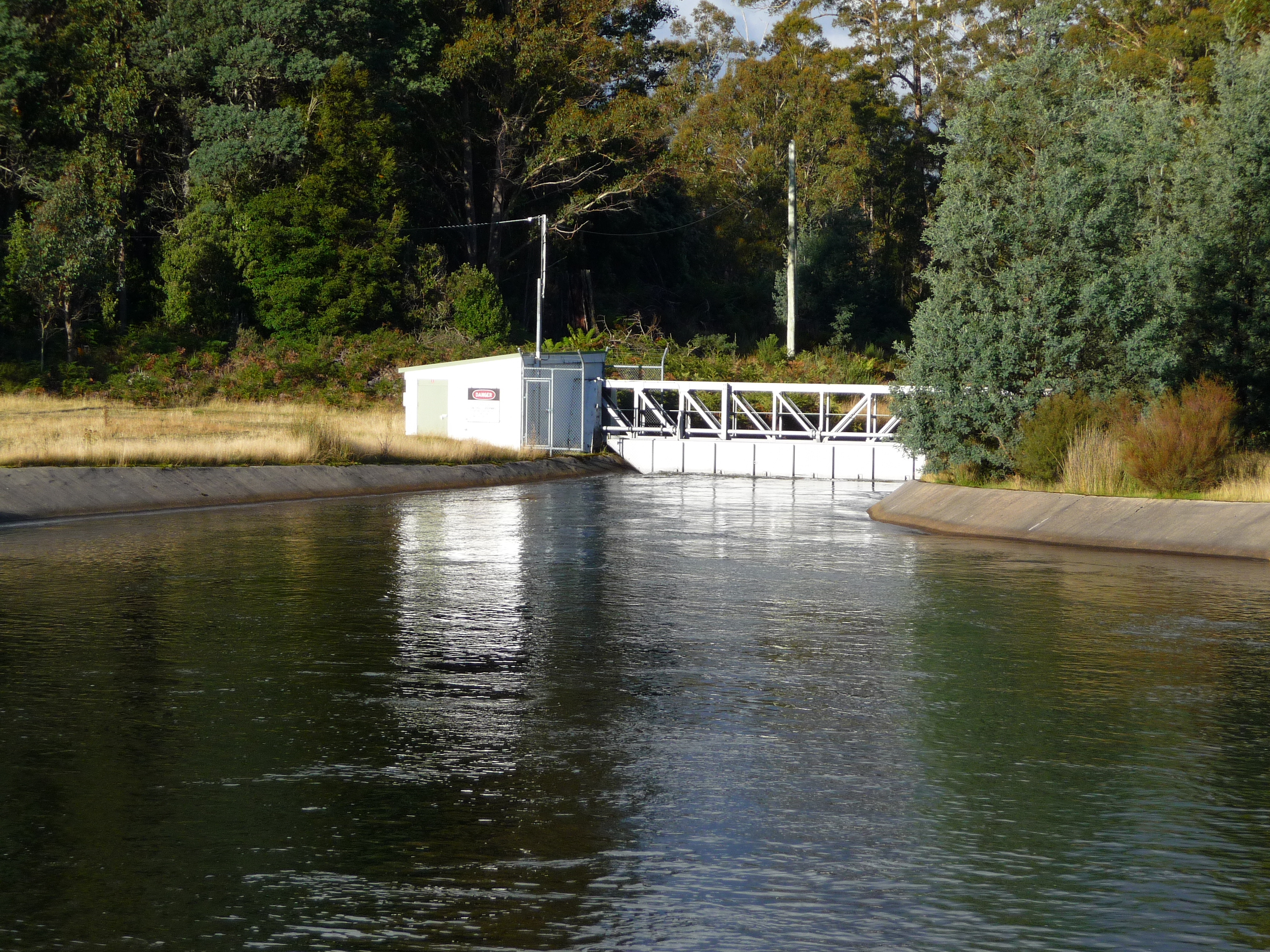
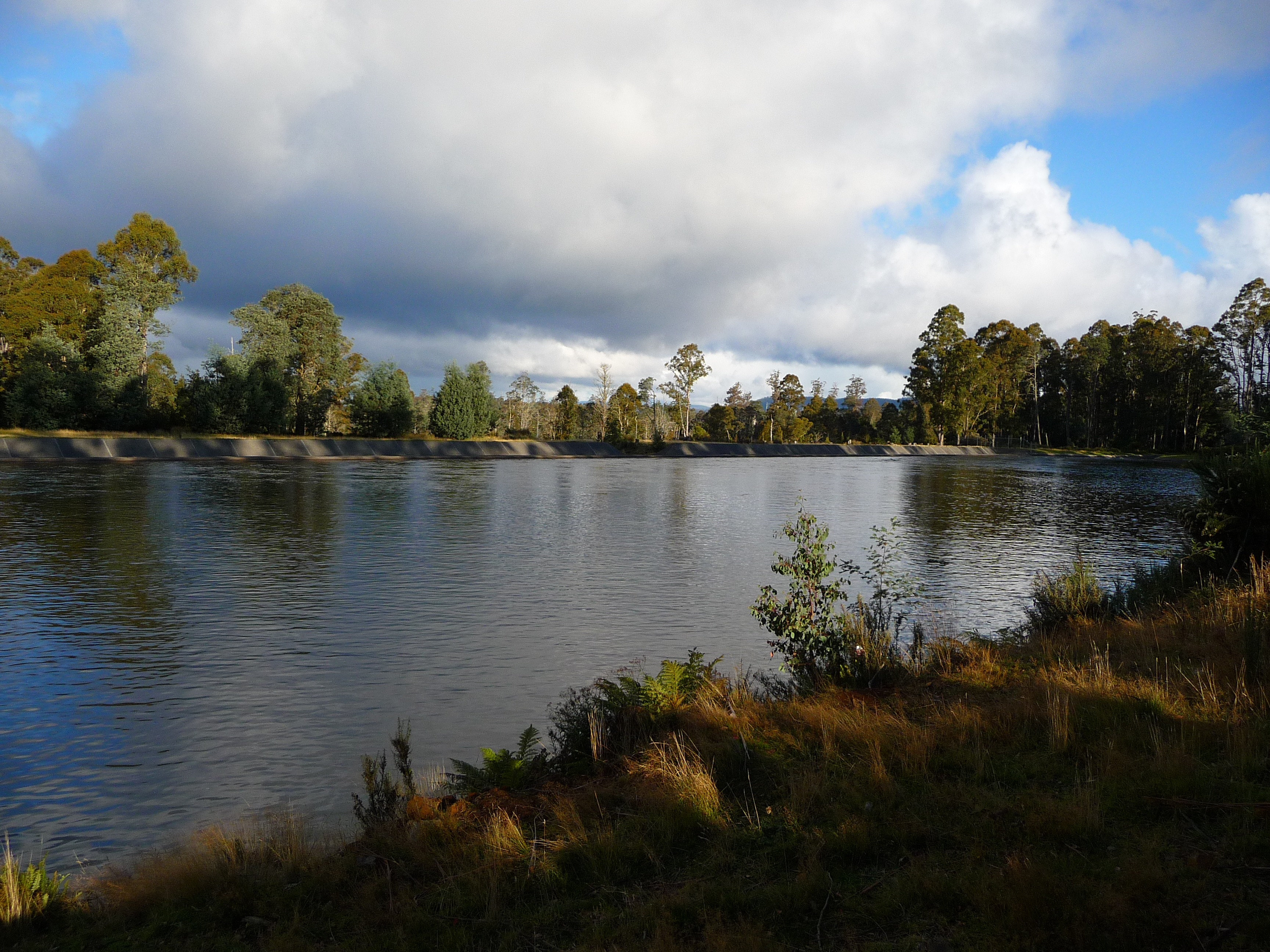
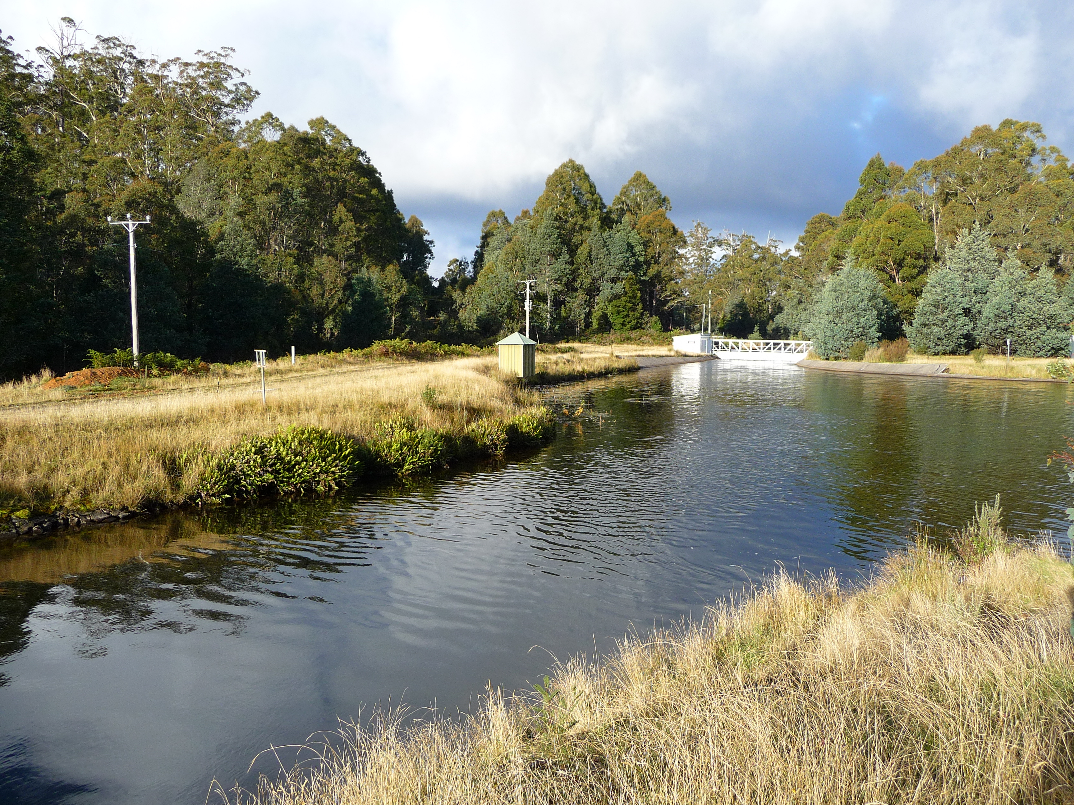
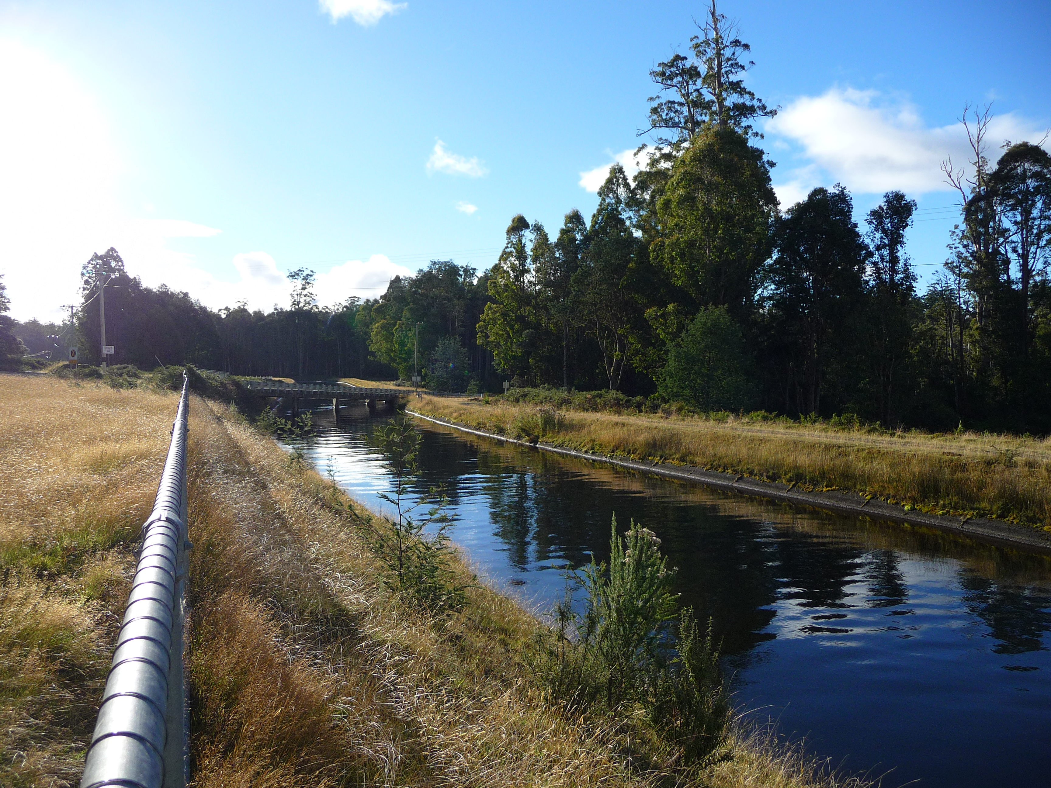
Then I run into the hydro electric power stations here. Most of the electrical power on this island is generated by this type of stations. So, what do you need? Well in reverse order: a power station, a lot of pipes to transport water from a high lever to the power station, a reservoir with the water and in this case: canals to transport the water to the reservoir. And all the pictures you see are from the Tarraleah hydro power station.
By now it was getting late and this road goes on and on and on. Therefore I decided to switch from tourist mode into driver mode. I wanted to make sure that I still had some time in Hobart to pack my suitcase again and being well prepared for the flight to Melbourne tomorrow. No more pictures from here on and that’s not a bad thing; it’s not that interesting anymore along this road till you get closer to New Norfolk. But by then it was getting dark and that would not result in good shots.
It’s been a long drive, but it was beautiful. Now it’s time to leave this island and go for the bigger one that’s a bit more to the north…
The track of today:
Tuesday 28 April 2009
Want to respond to this post?
Look me up on GitHub,
 Facebook or
 LinkedIn.
Tags
- 3D 9
- Air Safari 19
- Australia 67
- BlackBerry 1
- Blue Sky Flying Adventures 33
- By Boat 4
- By Bus 2
- Dev Containers 3
- Domoticz 2
- Driving 31
- Facebook 1
- Flying 44
- Gallery 2 7
- Google Maps 4
- Hugo 1
- Jekyll 4
- Linux 3
- NextGEN Gallery 5
- Owning a plane 8
- Podman 3
- Red Centre Tour 19
- Singapore 3
- Tasmania 10
- USA 33
- WSL 2 4
- Walking 42
- WordPress 17